We continue our journey in the Northeast of India, exploring Nagaland, Meghalaya, Assam, West Bengal, and Sikkim.
Majuli Island – River Island Paradise
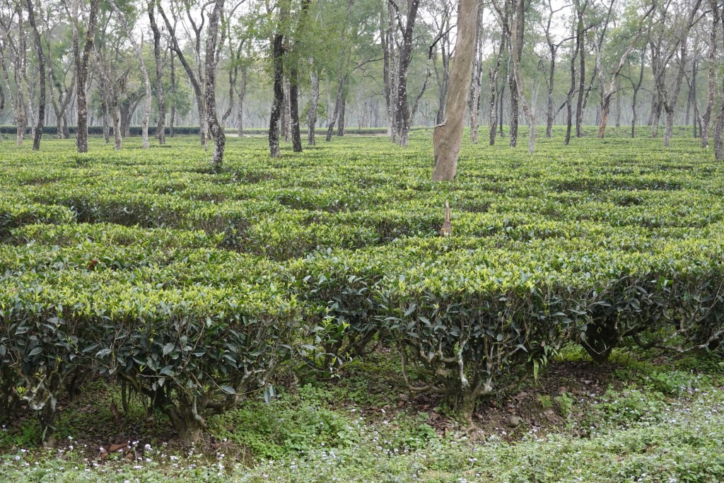
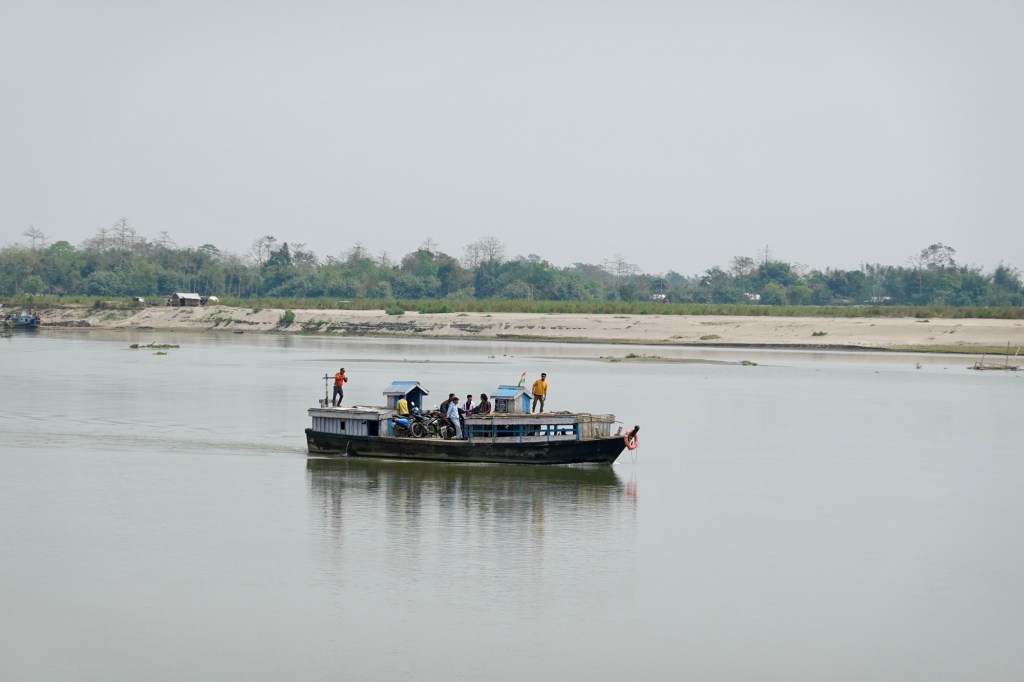
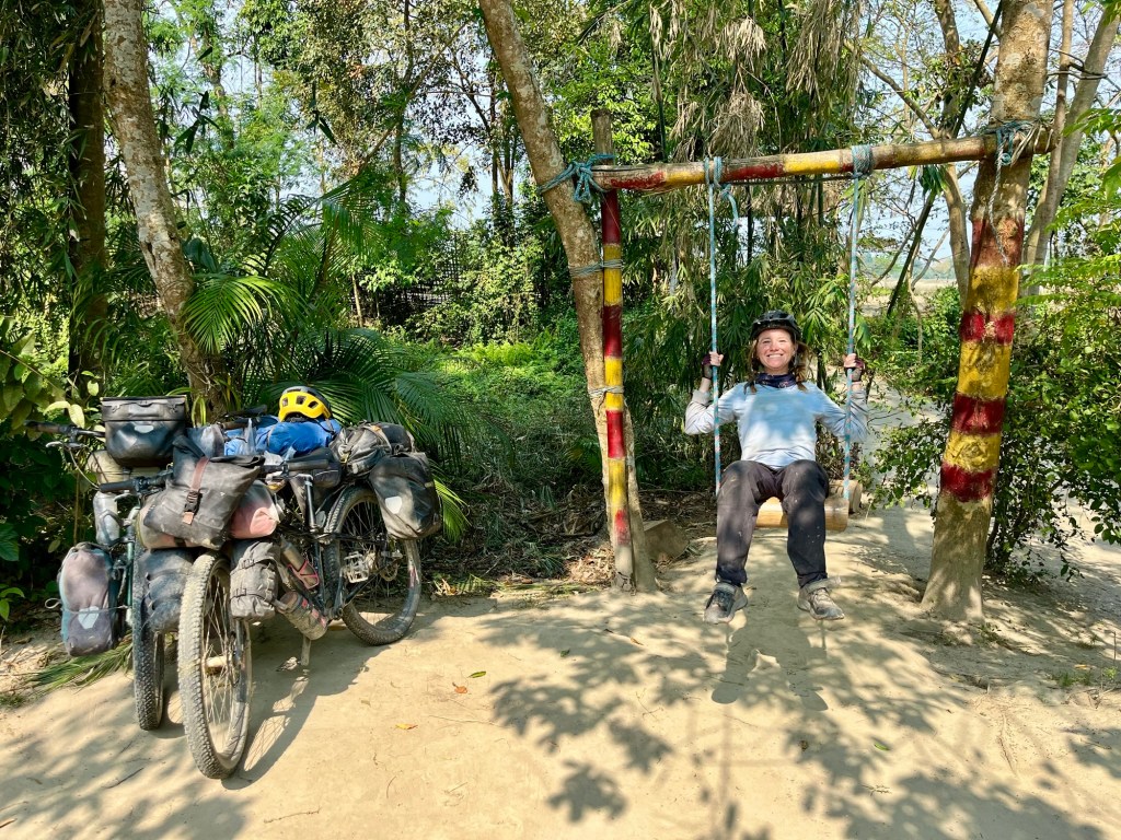
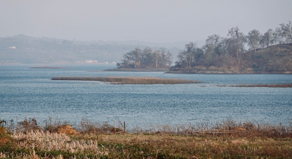
Majuli Island is a fragile “little” land in the middle of the mighty Brahmaputra River. It is one of the biggest river islands on this globe. On the way to the island, we pass tea gardens. We have to cross the Brahmaputra by boat to get to the island.
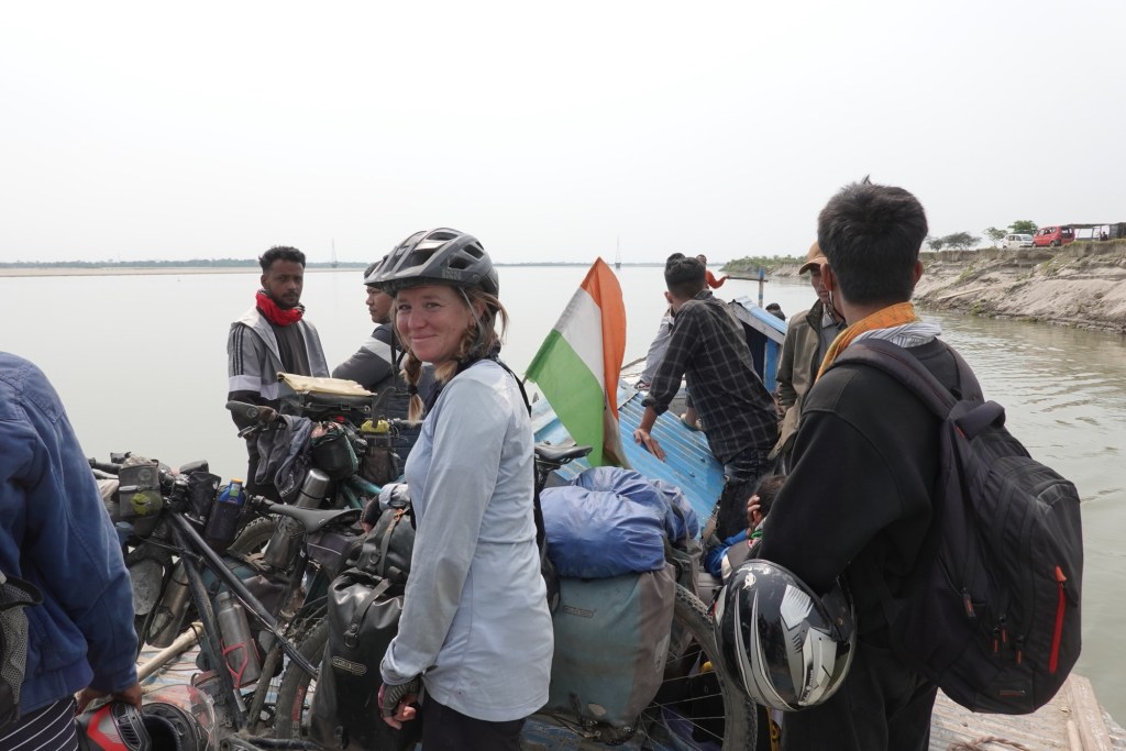

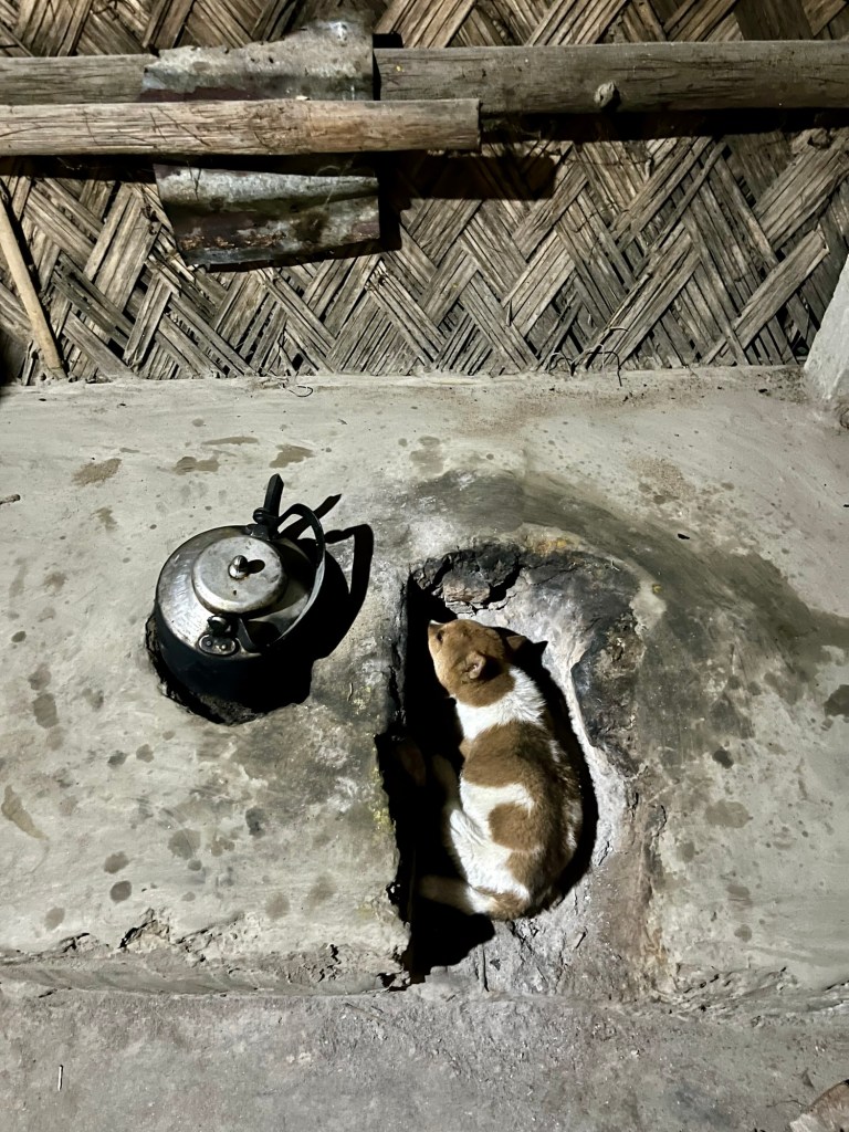
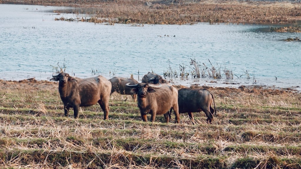
The island is a green heart – shimmering like a pearl in the middle of the river. Each monsoon carves deeper scars in its shore, making it a fragile habitat for its inhabitants. Our home for a few days: a cute bamboo hut where fireflies dance on the doorstep. And an even cuter puppy keeps us company.
Majuli Island is also the place where one man shows how much difference a single person can make. The “forest man” planted trees over an area of 550 hectares, fighting against erosion and hence the disappearance of the land.
Exploring the Naga Hills
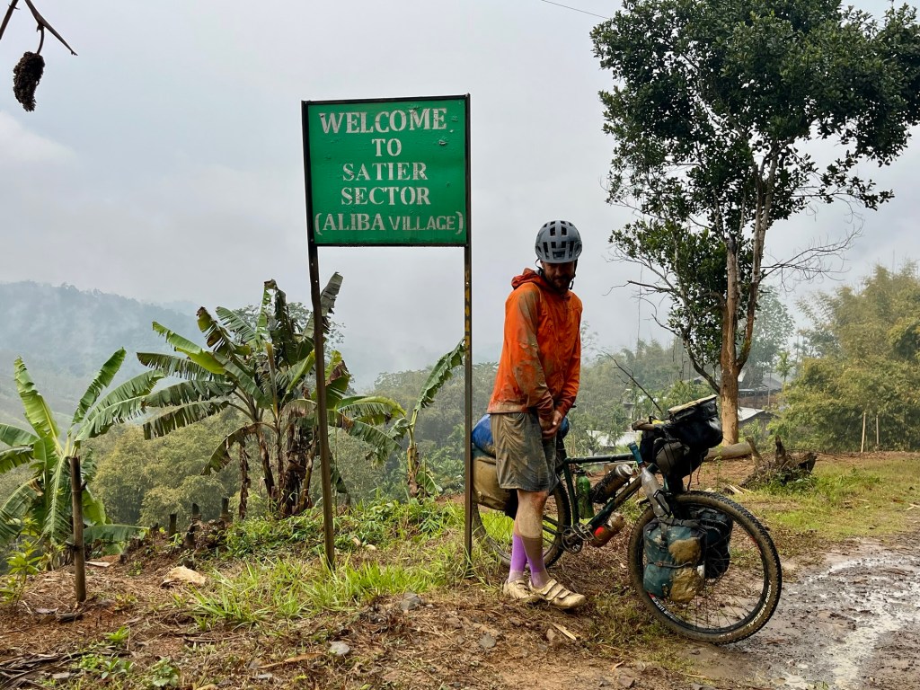
One detour to the wrong ferry port and then we are on our way to Nagaland. Nagaland borders with Myamar. It is home to 16 “major” tribes with numerous subtribes.
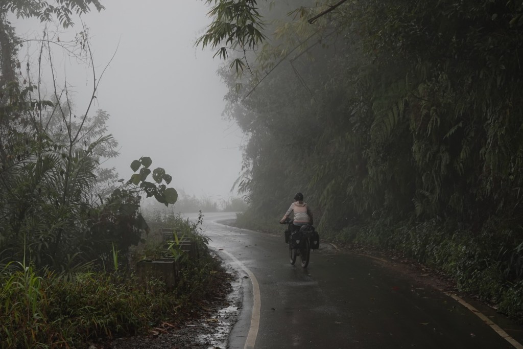
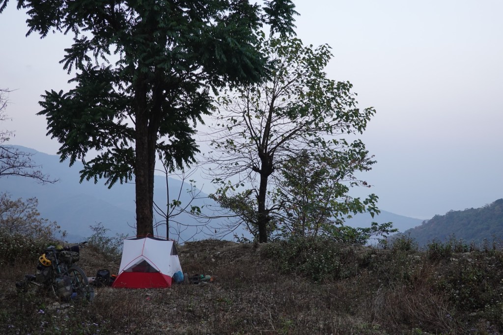
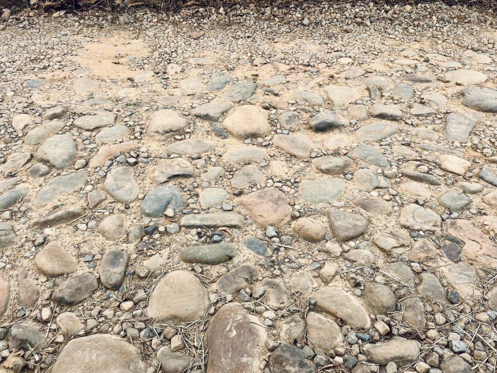
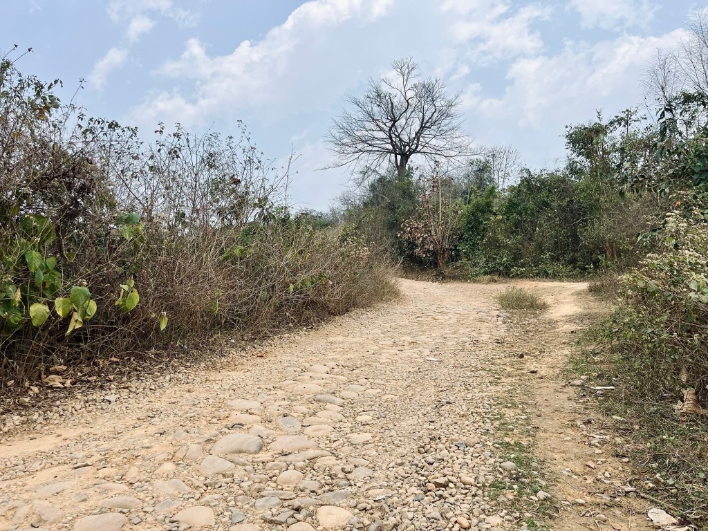
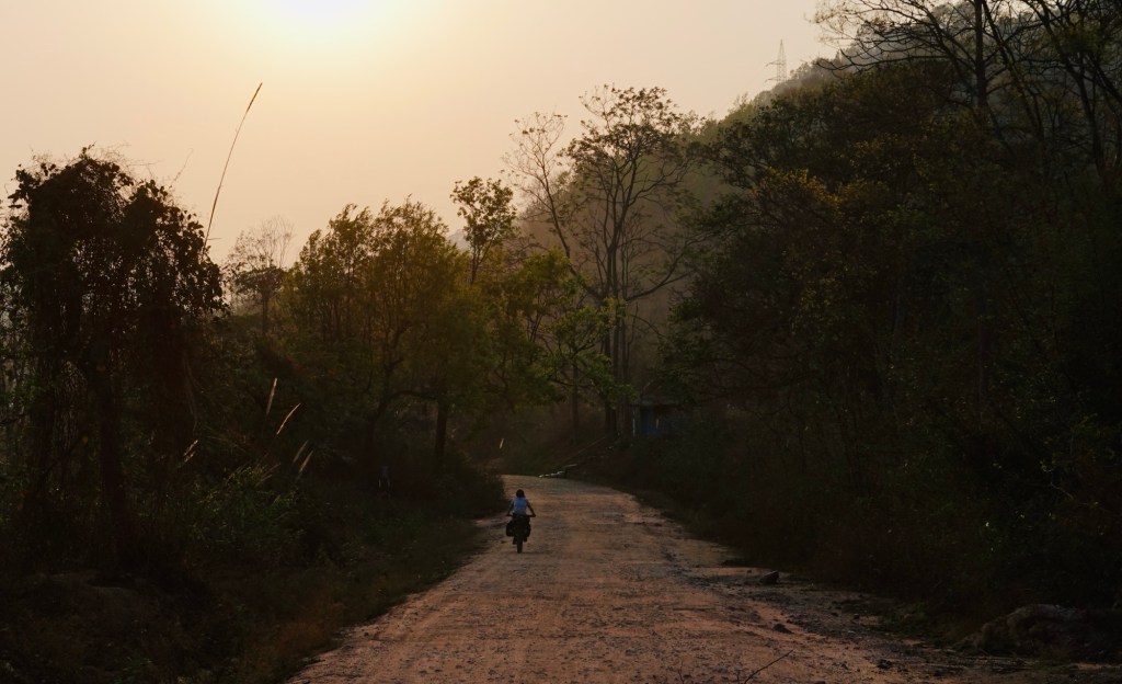
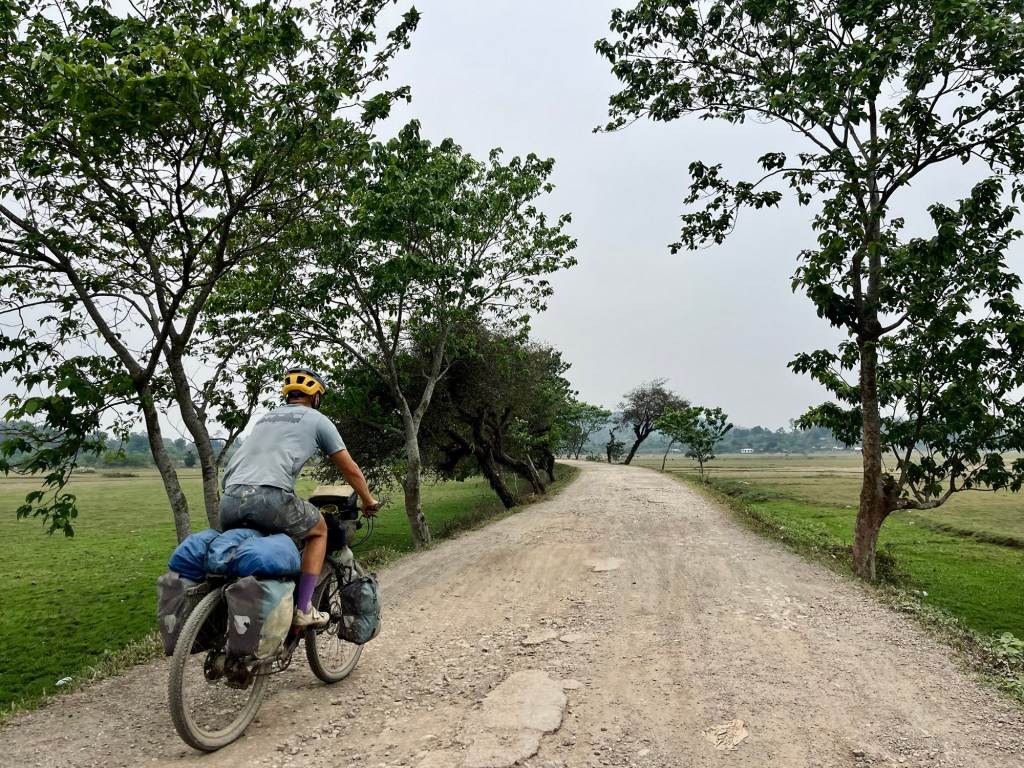
A little bit of asphalt and then the fun starts. As we make our way up one of the worst roads we’ve had so far on our trip, thunderstorms grumble above us. The road feels like trying to roller-skate on pearls scattered on the ground, with the occasional huge pothole and the cherry on top: a soap-like mud.
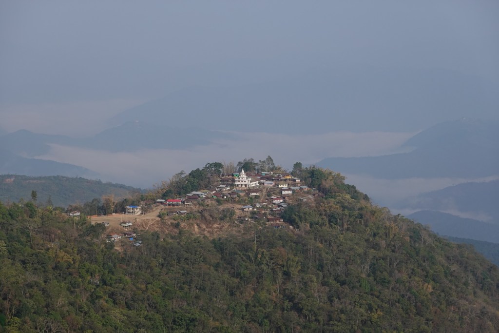
Villages lie on the top of hills, like castle and the churches can usually be seen from far away.
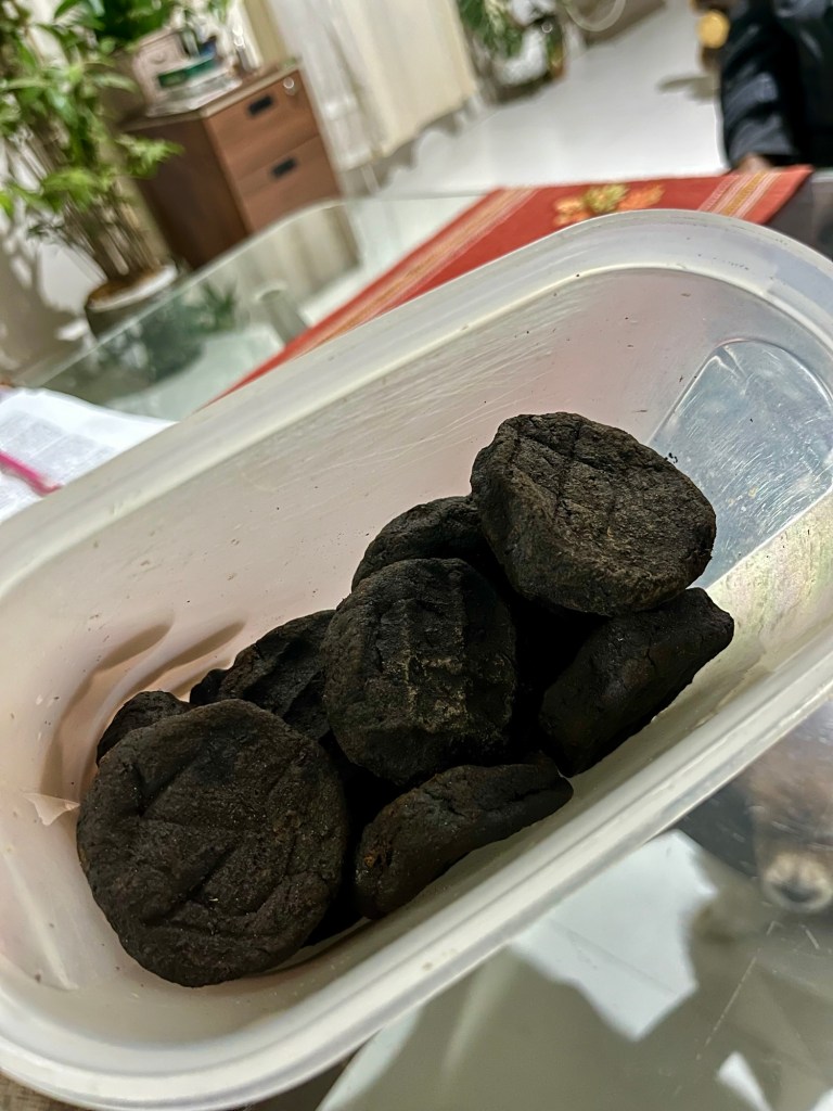
In Mokokchung we find a lovely homestay and learn a lot about the Ao heritage (a regional tribe) and get to taste the unique flavour of Akhuni – fermented soybeans which are used for flavouring. Looks strange but tastes amazing and so we add a few of the black pieces to our herbs bag. The local Nagaland coffee is also a treat we get to try.

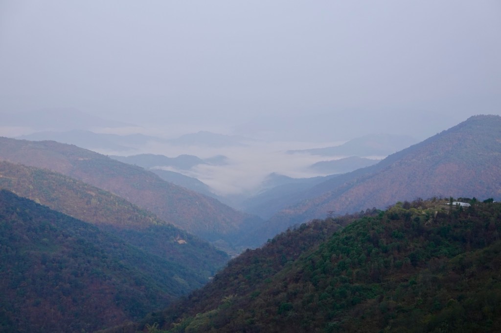
Weather slightly improves. Finally we get a view over the ocean of green of the Naga Hills.
We had our first dry tent night in a long time. Waking up without the cheek sticking to the condense water on the sleeping bag – what a luxury!!
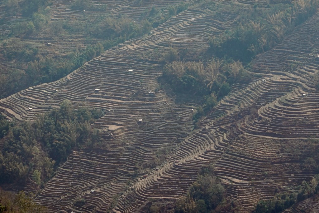
Zohnebote has one of the biggest churches we have ever seen. Soft green terraces are painted on the hills, rising from the rivers on the steep hills like stairs.
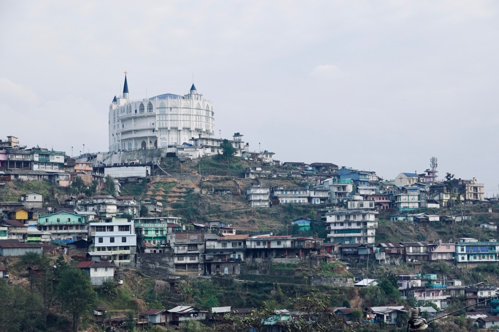
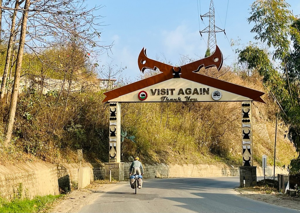
After a gentle descent, the heat hits us like a desert storm taking our breaths away. Like we entered a different climate zone. Then we make our way to Kohima, the capital, which is our last stop in lovely Nagaland. Kohima is spread over the green hills in the landscape – looking like 5 different cities. It was the place of a cruel some battleground in 1944. Now it appears like a vibrant city where people dress unbelievable fashionably from beautiful colourful traditional clothing to sharp styles. We feel very out of place in the coffee shop with our dusty attire. The Nagaland area would be an interesting places to spend some time and get to know the heritage.
First Stopover in Assam
After a nerve-racking downhill from Kohima where one construction sight follows the next one, we arrive back in Assam. We enter again a flatter area and cycle fields and little villages.
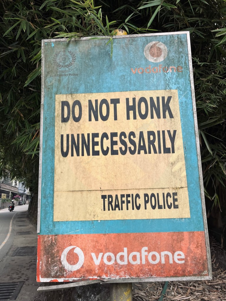
The national highways do not make up for their names. The good thing: no traffic, the bad thing: the “road” conditions. We continue bouncing over potholes and stones.
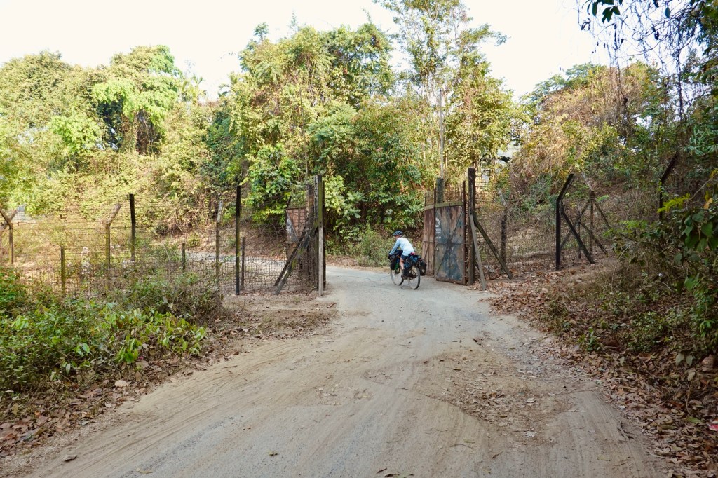
We ride towards Diphu when some locals stop to tell us to continue fast because there is a “riot between two different local groups” in the town. When we leave the town – in a hurry – we learn that it was actually a fight at a fish market and not a “tribal conflict”. Our path leads through the Marat Longri wildlife sanctuary where at dawn we get to spot some elephants in the tense forest. Animal corridors follow us along the route. Underpasses with lush forests, offer safe passing for animals, cars are advised to drive slowly and with dimmed lights. The corridors stretch over kilometres and give the sense that conservation is of high importance.
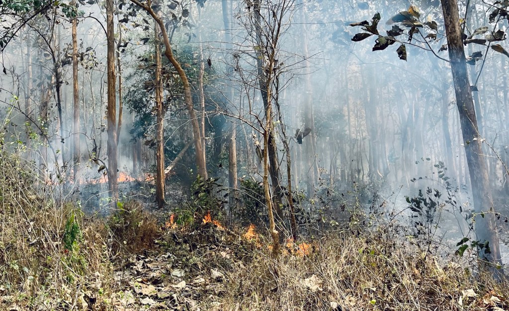
The road improves as we advance westwards. As if the heat would not be enough, little controlled forest fires to fertilise the ground give us an extra sauna feeling.
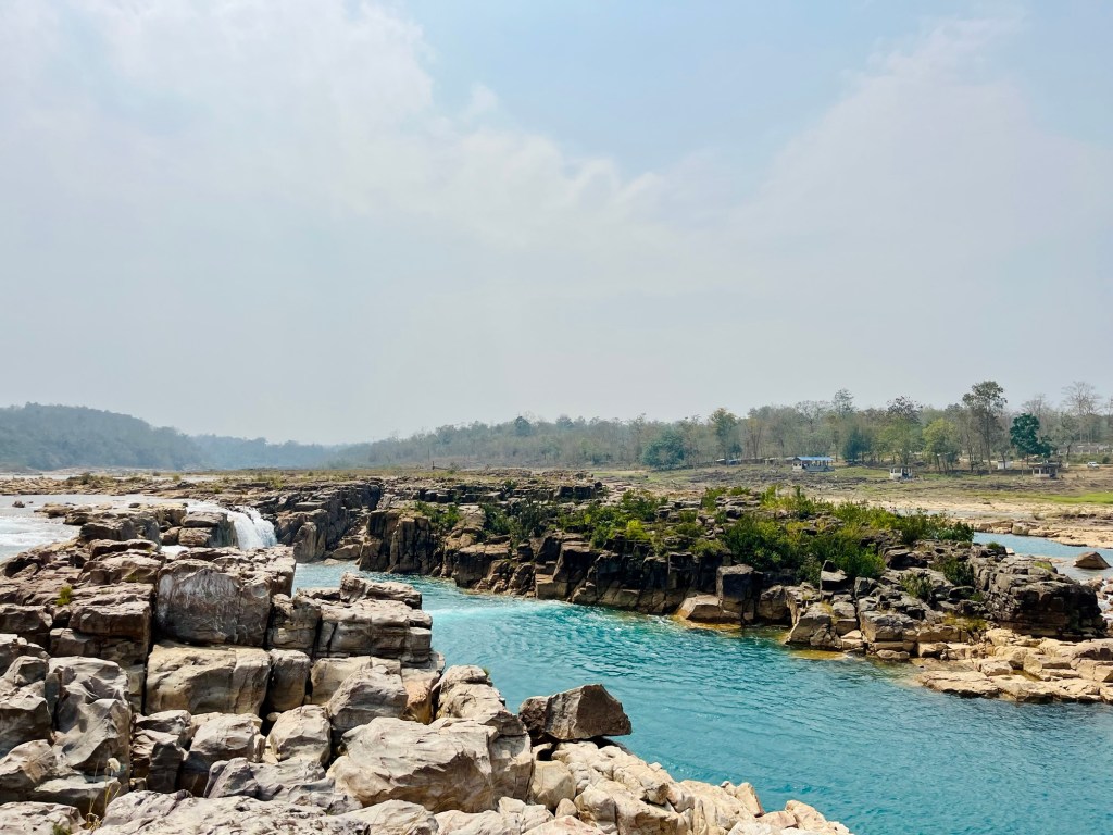
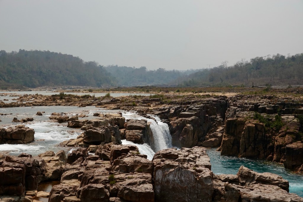
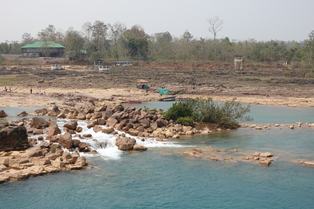
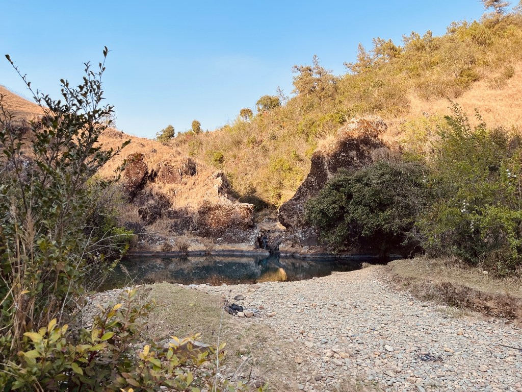
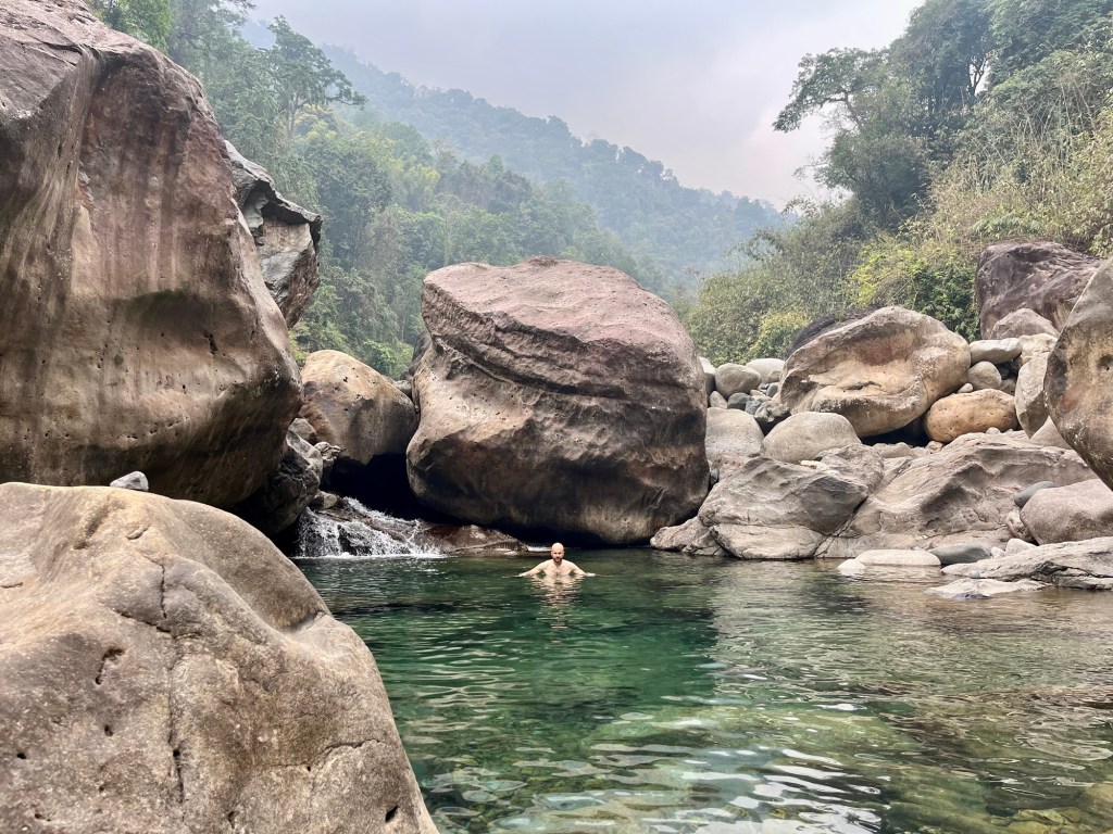
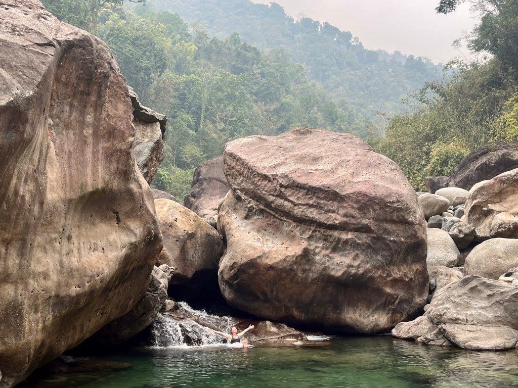
So we’re happy to find the Panimir waterfalls with a surprisingly caribbean blue water. Swimming: not allowed but a nice place to have a short break. After seeing all the other rivers where layers of dirt and garbage float, this one is a beautiful contrast.
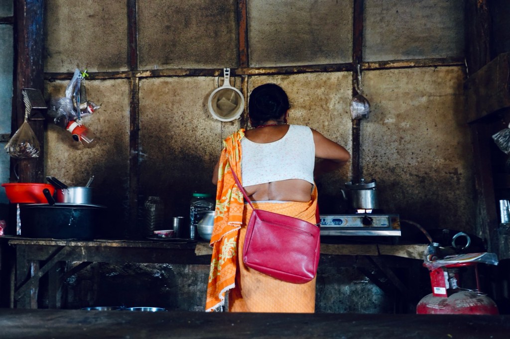
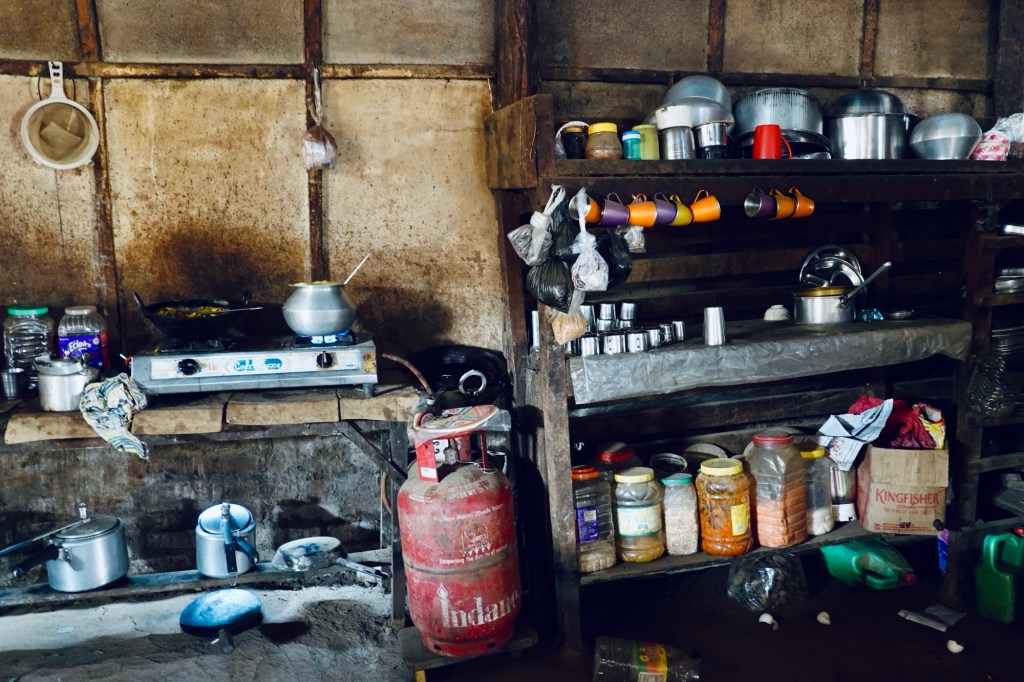
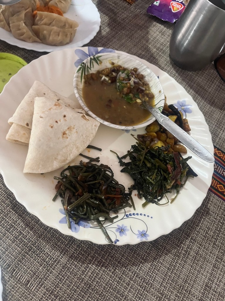
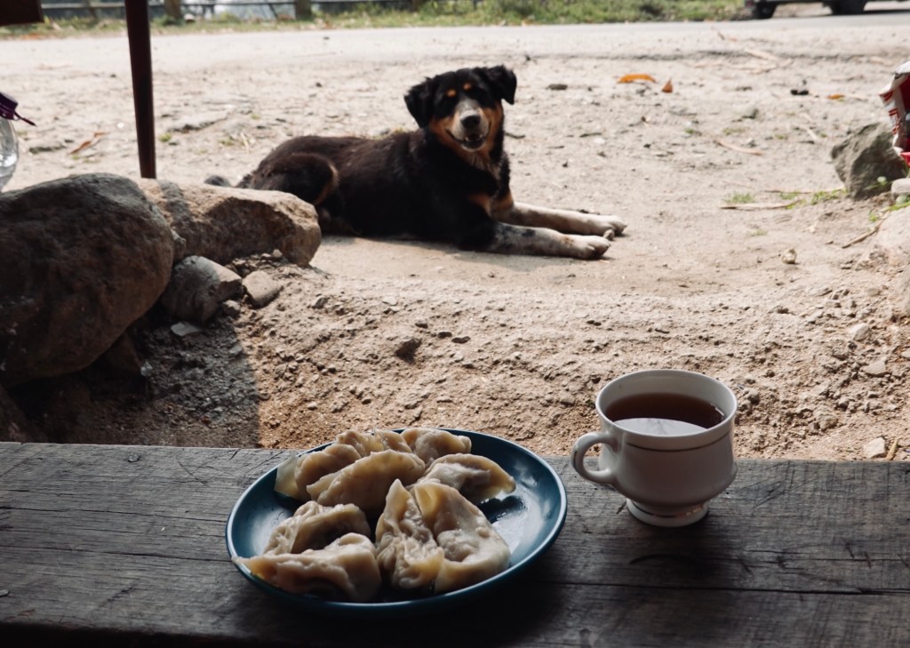
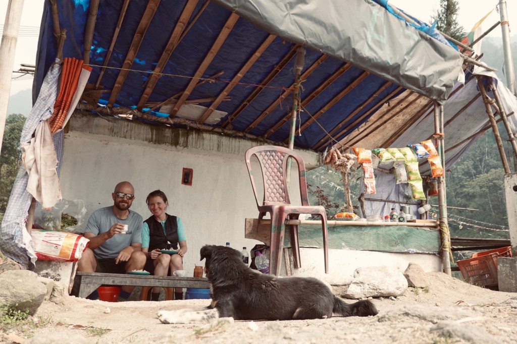
Our lunch breaks are usually spend in small roadside restaurants. Our favourites: Momos, Veg Chow Mein and the local Thalis. The latter one is a blend of Daal (lentils), rice, pickles and some greens. It’s always a surprise and a perfect nutritious meals.
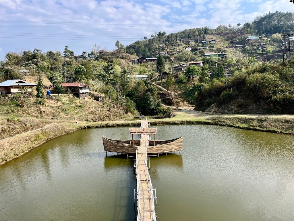
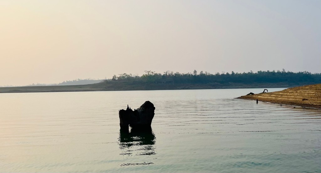
Once we arrive at the Kupli Dam our little stopover in Assam is over and we enter Megalaya.
Megalaya – sacred forests and nature’s architectural wonderland
The Kupli Dam is shared by Assam and Megalaya. As soon as we entered Megalaya, the road conditions improved massively.
Next to the dam we find our first official campground – a holiday park with a designated campsite.
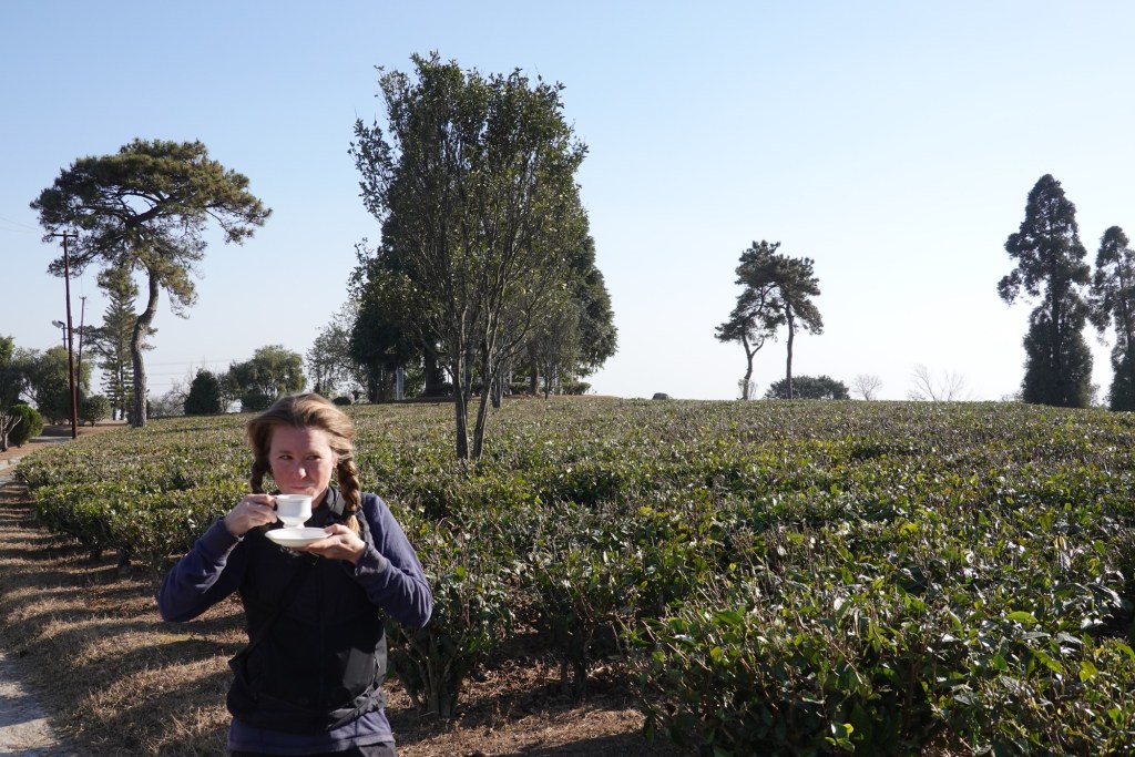
A few kilometres on a very busy highway later we arrive at a lovely tea garden and guesthouse.
Afterwards we are heading to our next highlight – well a highlight for me.
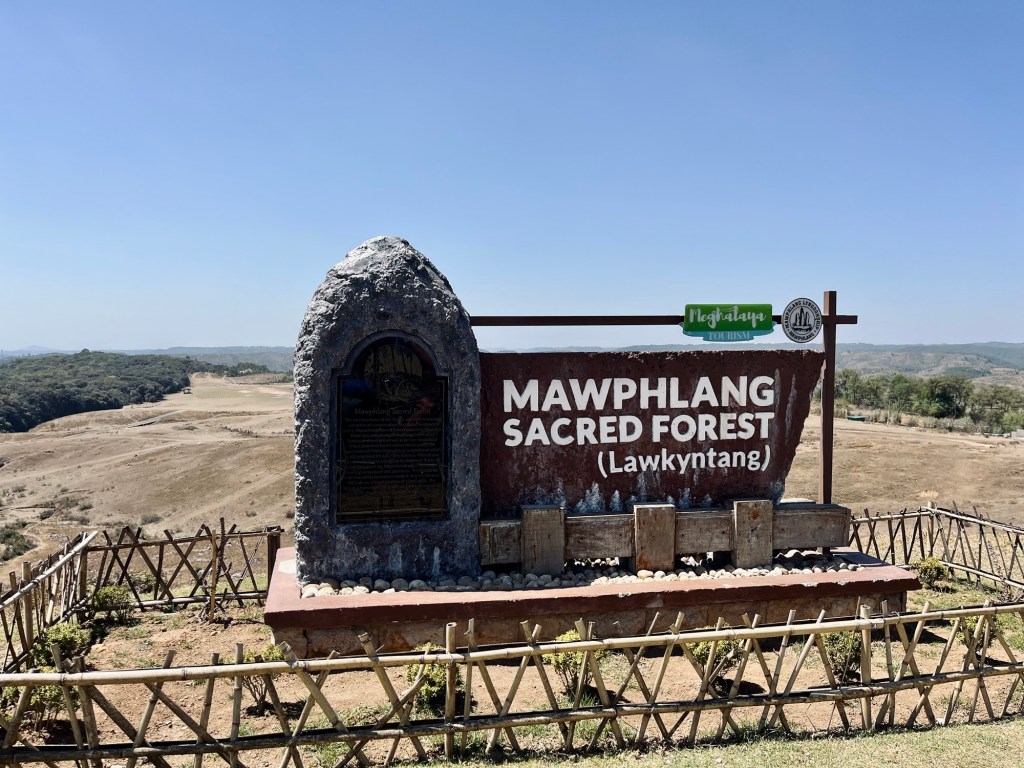
I insisted on a little detour to visit the only sacred forests outsiders are allowed to visit.
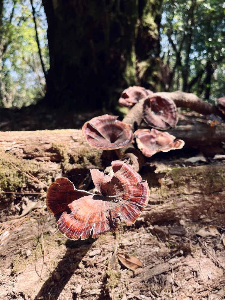
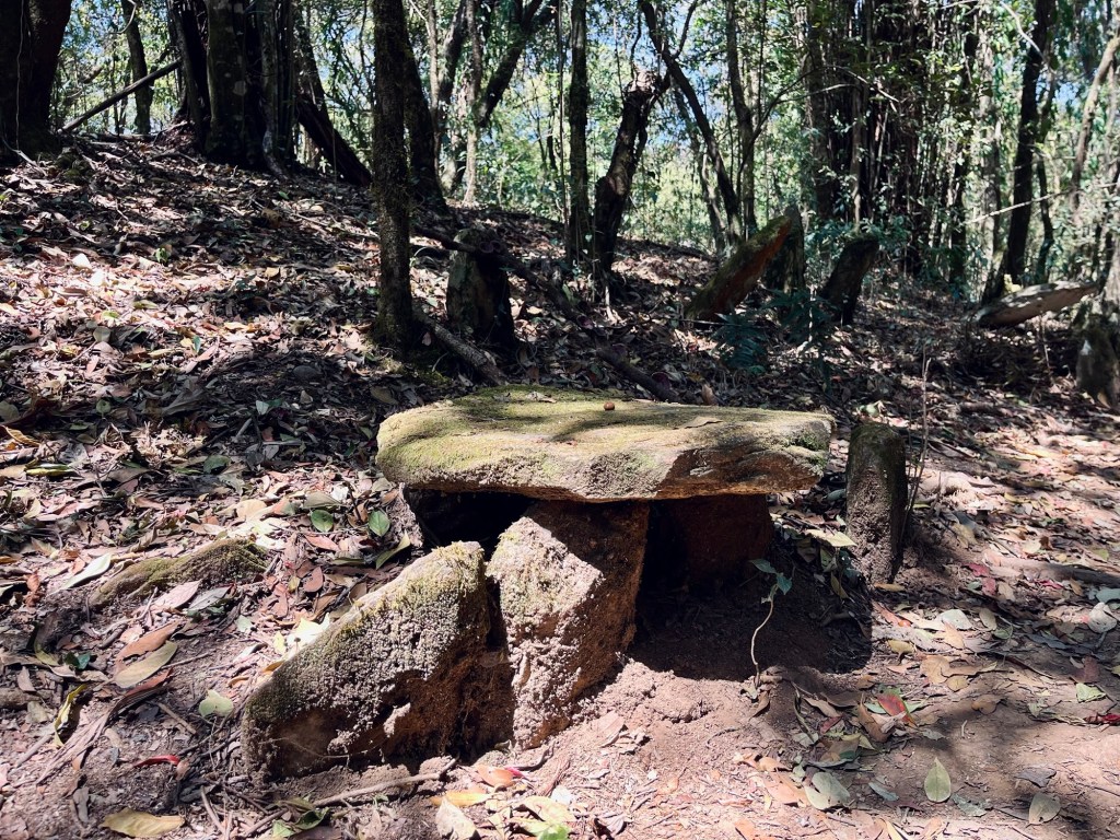
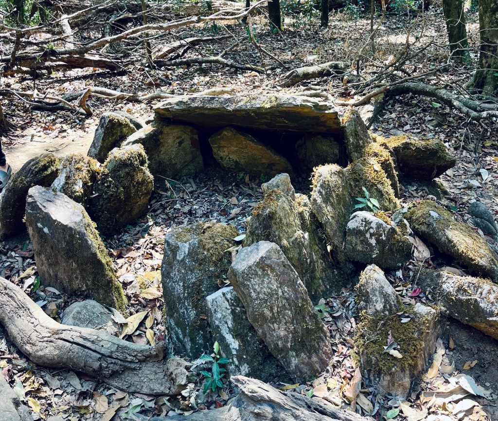
In the Khasi culture of Megalaya untouched forest are part of their heritage. Nothing should be left or taken out of the forest. The forests themselves are used for rituals where the villages elders perform sacrifices. During thirty minute a young music enthusiast guides us through the forest. A path out of stones leads to the sacrifice places. Other than that the forest is not managed and not maintained. It is a touristic places, yet it was a nice to get some insights.
Our tour guide also advises us on an alternative route to our next destination. A short cut that would make up for the detour we took.
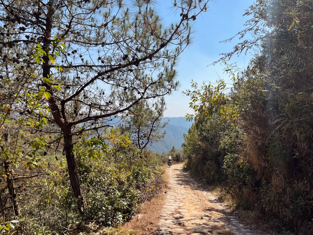
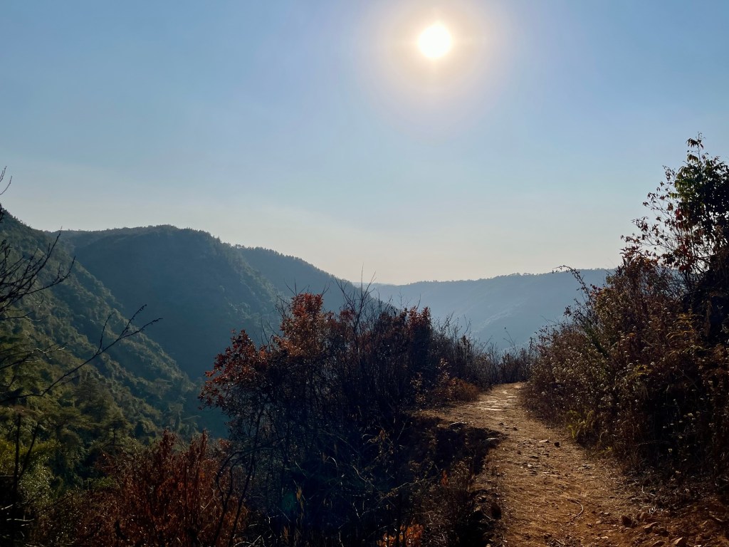
A shortcut via the David Scott Trail
So we find ourselves on the David Scott Trail, who was the first British Administrator in Assam. The horse cart trail was laid down across the Khasi hills and jungles from Assam to Bangladesh for trading. The route was developed with the promise to keep peace between the hill tribes, yet this promise was supposedly broken in the light of trading. We will only cover 16km.
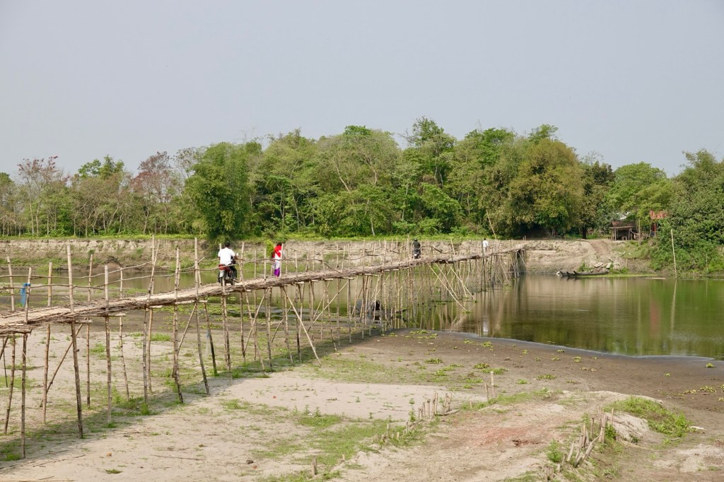
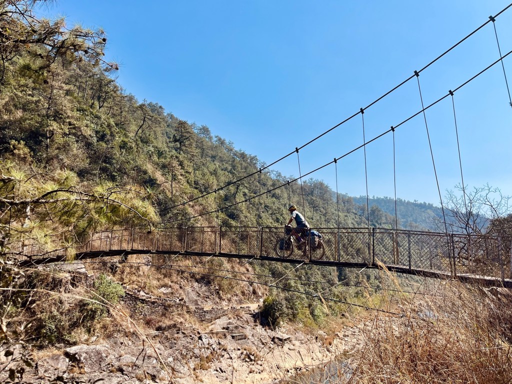
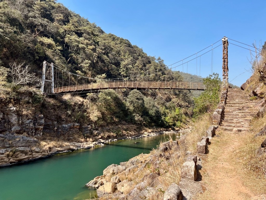
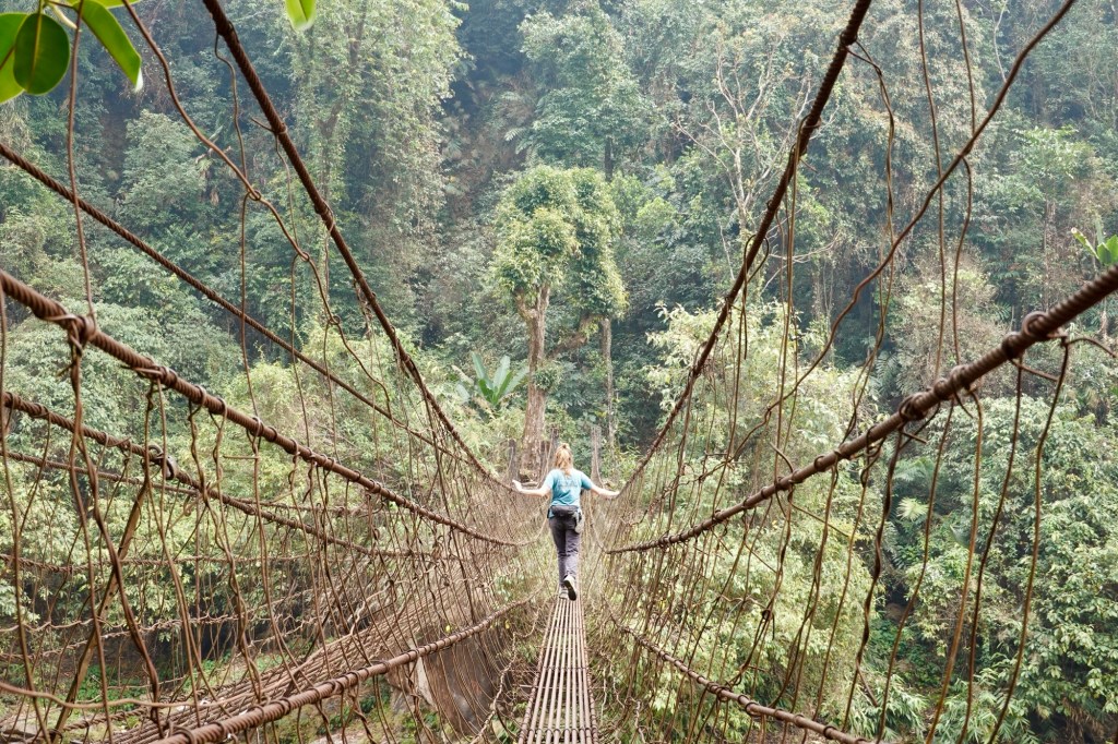
First the trail leads via cobblestones down to the beautiful Umiew river which we cross via a shaky suspension bridge.
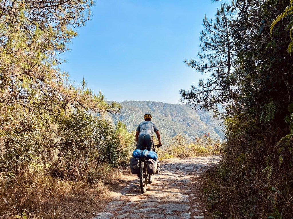
A crystal clear stream appears. We cross the river and later we find ourselves in a lush “farnland” of the Wahtham Valley. The gigantic leaves brush our faces as we push the bikes uphill.
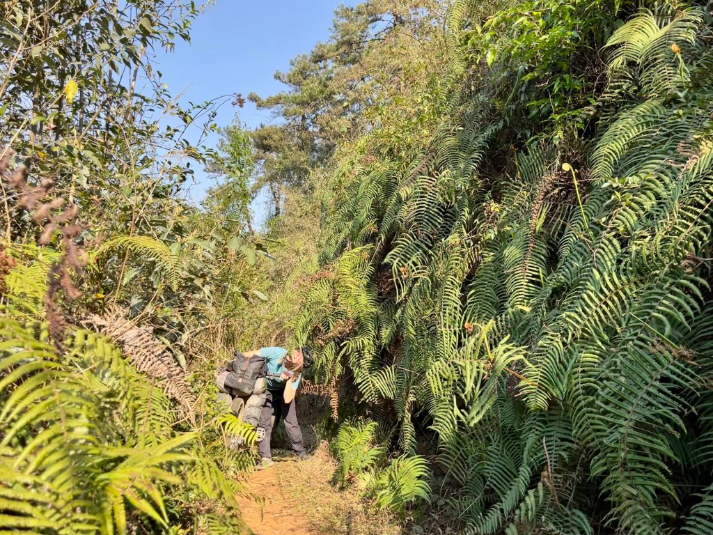
We pass Laitsohma village – with little houses and wheelbarrows lying around. Afterwards we find ourselves in a beautiful valley with naturally carved stones and a majestic stone bridge. Such a cool shortcut especially after riding for a few days on dusty and damaged tarmac!

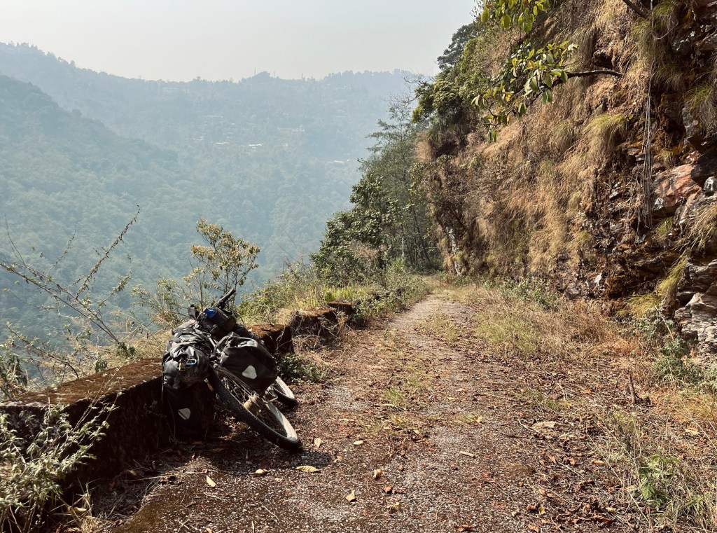
While finding the trail was fairly easy the exit and connection to our next destination was rather difficult. It would have been camping paradise on the trail but we haven’t calculated the food to do so and so we re forced to continue. A newly build road brings confusion on how do to continue to the next village. One local is sending us right the other one left and so we end up riding the wrong way three times. Afterwards we decide that a trail is the safer option than a road which is not on our maps and push the bikes down some stairs and continue next to the river. In the evening we arrive in Tyrna.
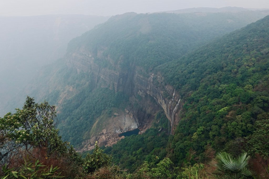
The next day we take a shared cab up to the city of Cherrapunji – and hike to the highest waterfall of India – the NohKaLikai falls. Since it is not the rain season yet the waterfall is rather a stream but the surrounding nature is breathtaking.
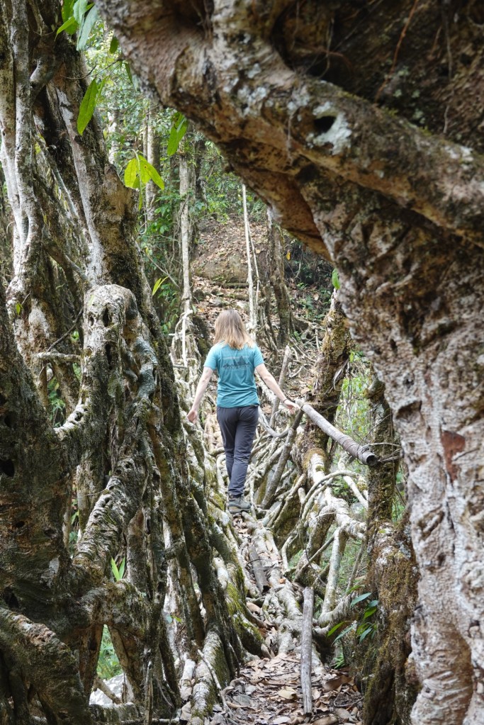
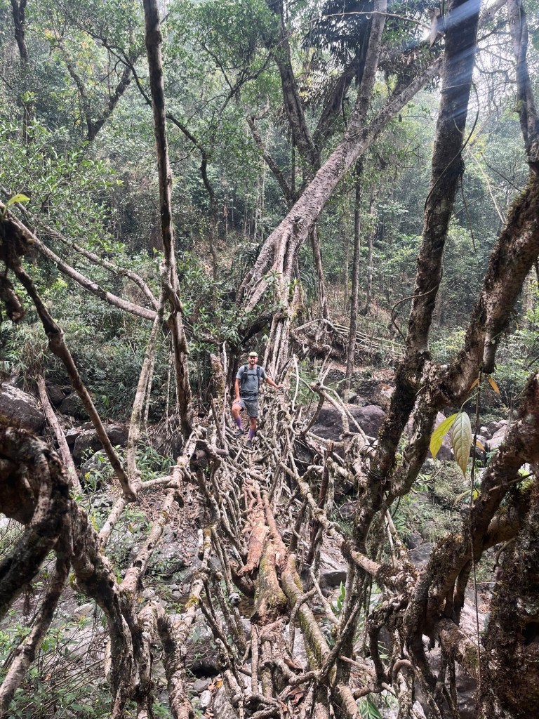
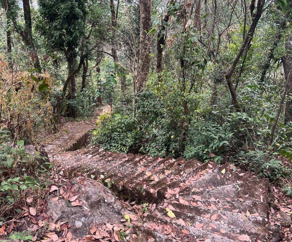
From the waterfall we descend a 900 meters on an overgrown path with many slippery steps to the river bed. Here we get a glimpse of the first living root bridge. The local Khasi and Jaintias people have “built” these bridges for centuries. Yet building here does not mean to put brick on brick but rather to “train” the areal roots of rubber fig trees to intertwine in an ensemble of magic and chaos.
Bridges that are alive and growing, entwined in purpose – with earth.
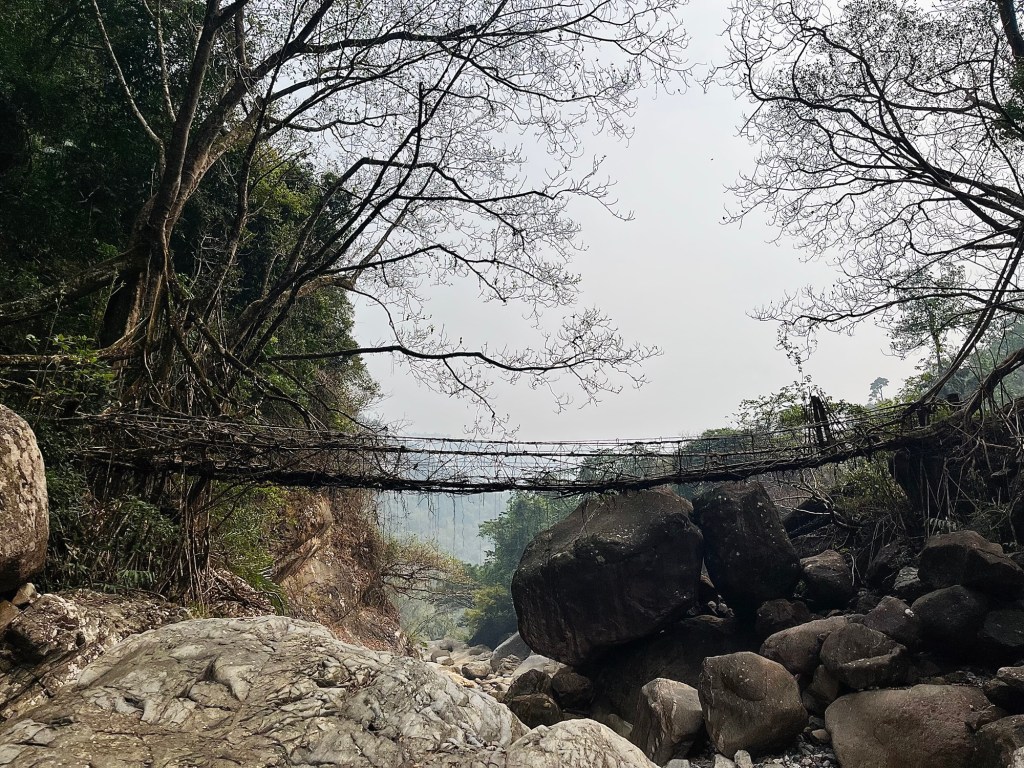
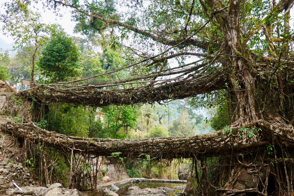
The bridges serve as pathways during the monsoon season. The first bridges we encounter are stabilised with wires (many more people are crossing the bridges for tourism reason lately).
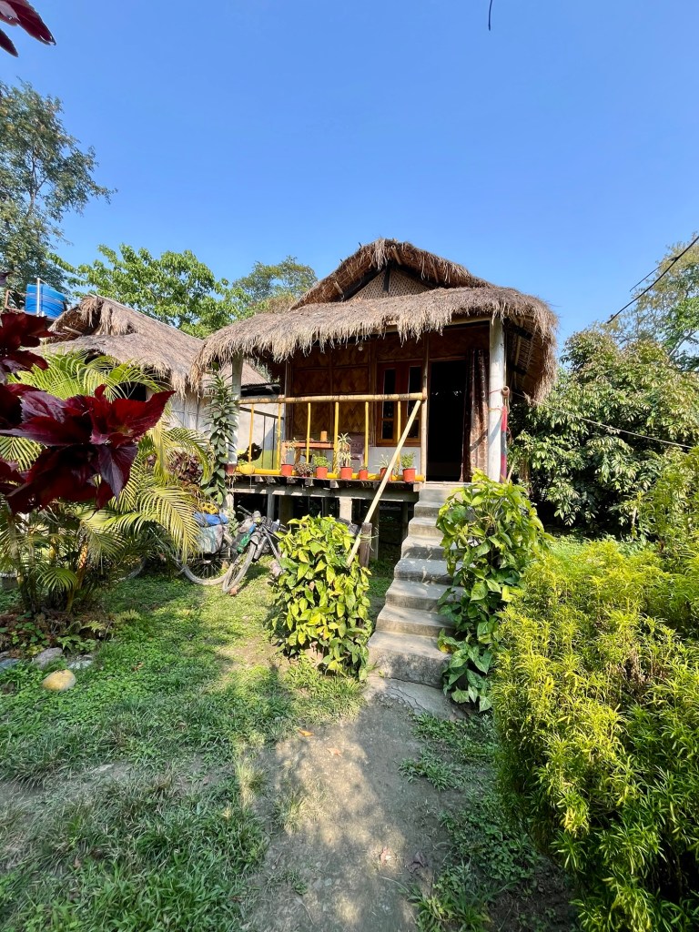
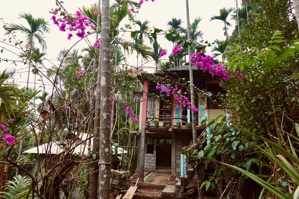
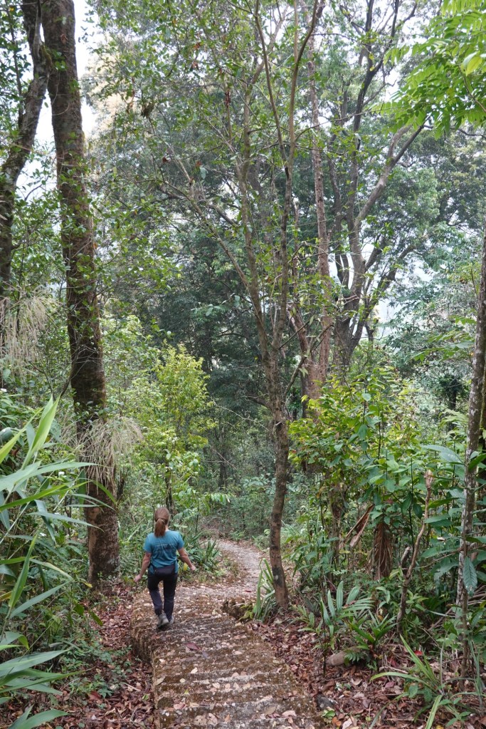
We pass the touristy village of Nongriat and continue to our beautiful homestay in Mynteng. The tiny village is hidden in the depth of the forest. It’s only reached via 90 minutes walk on steep tracks.
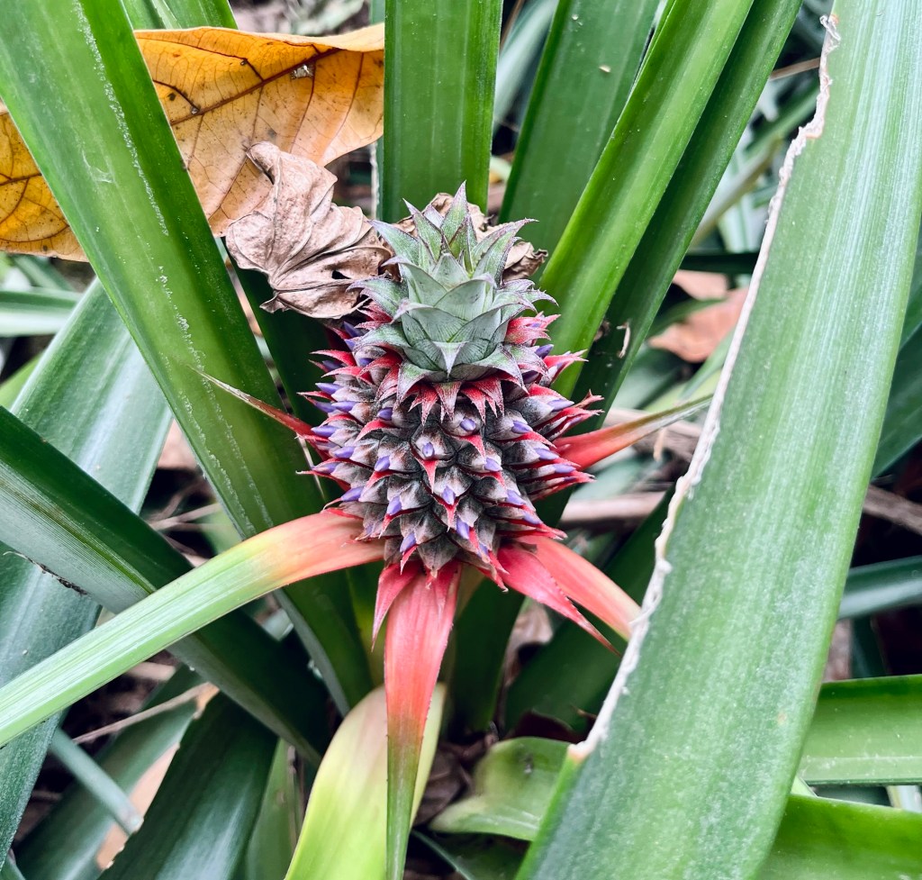
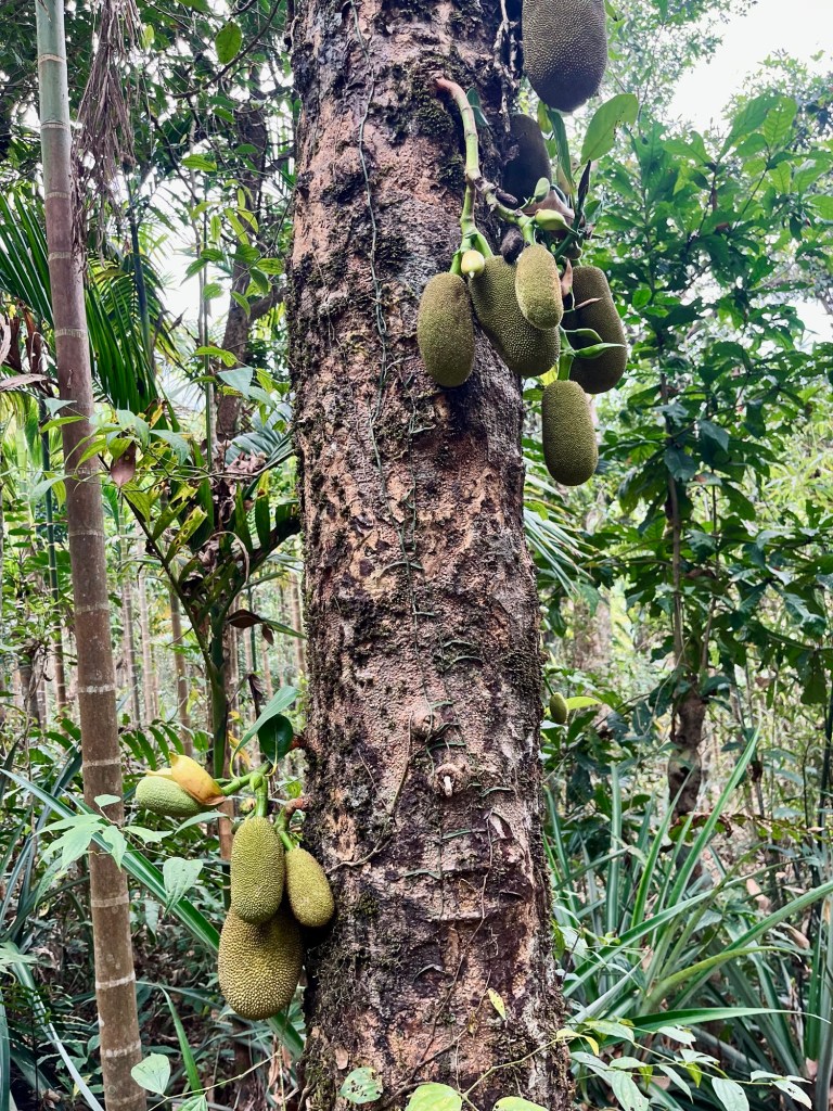
The next morning we head to a lesser visited rootbridge passing by pineapple plants and jackfruits.
“Spatzen aus der Hölle” – Sparrows from hell dribble in our legs. The downhill hike from the previous day left its marks. Our legs are very sore!
After some more steps we arrive at a lovely waterfall. And then head back to Tyrna via a long steel hanging bridge.
In Tyrna we meet many other local travellers that make their way to the rootbridges. Up to Tyrna again and the sky is shedding its biggest tears. Streams turn into rivers, water bottles, balls and pineapple surf down with the stream. We’re happy to have found some paths away from the masses. We head towards southern Meghalaya. Papayas for breakfast and fresh pineapple juice for refuelling! As we cycle down the road the smell of Jasmin catches our noses and we pass young boys with slingshots. The places we have visited here, were so unique and breathtaking. While we are usually most stunned by alpine and mountainous areas the forests of Meghalaya bewitched us.
Border Roads of Megalaya
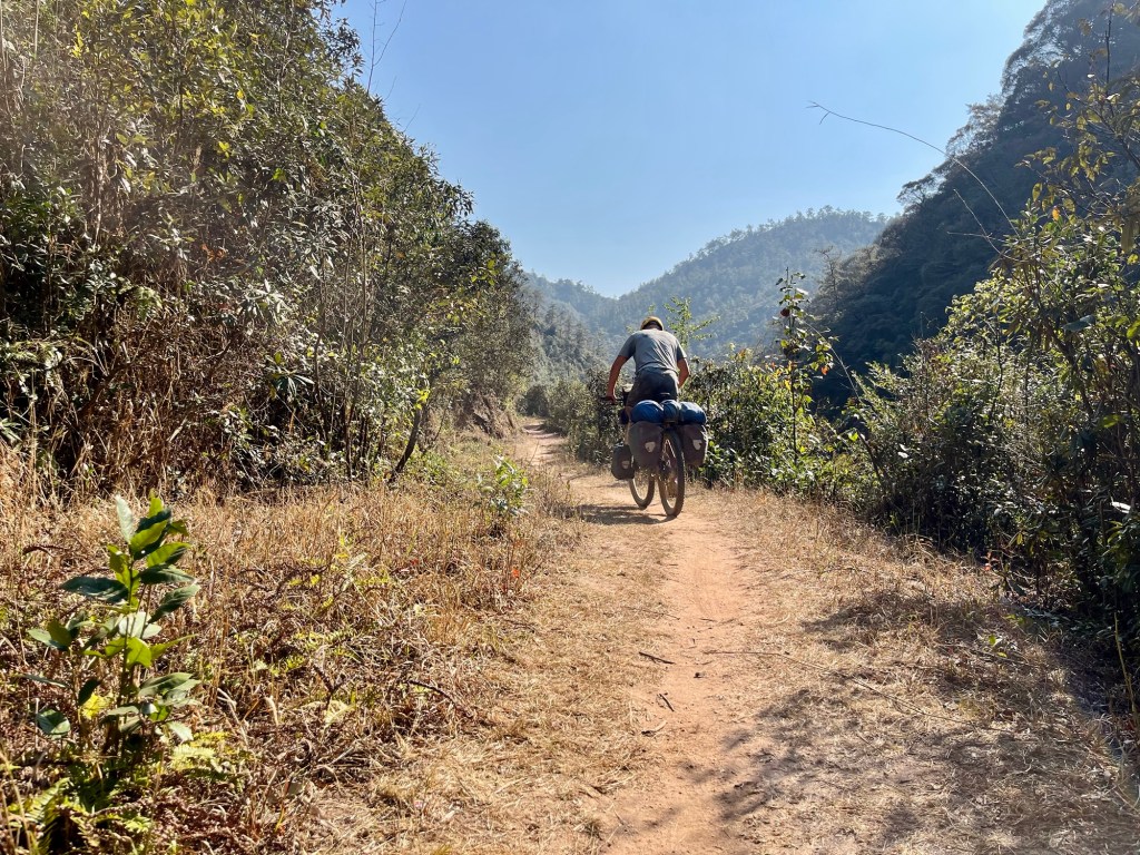
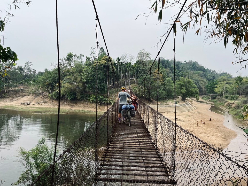
We head towards Shella and Ranikor. The route follows the border of Bangladesh. While in Arunachal Pradesh which is bordering with China, we were not allowed to come closer than approx 100km to the border, here the roads just follow the border fence. Small tracks lead through the country side, shaky and broken bridges over the rivers and cobble stone paths through villages.
On the road we find people improving the tarmac by hand. Fires on the roadside burn the tarmac and female workers with little brooms straighten the road and fill the holes with cobbles. We have probably entered an area where human labour is cheaper than machinery. We’re cycling past the construction sites with great dignity and reverence.
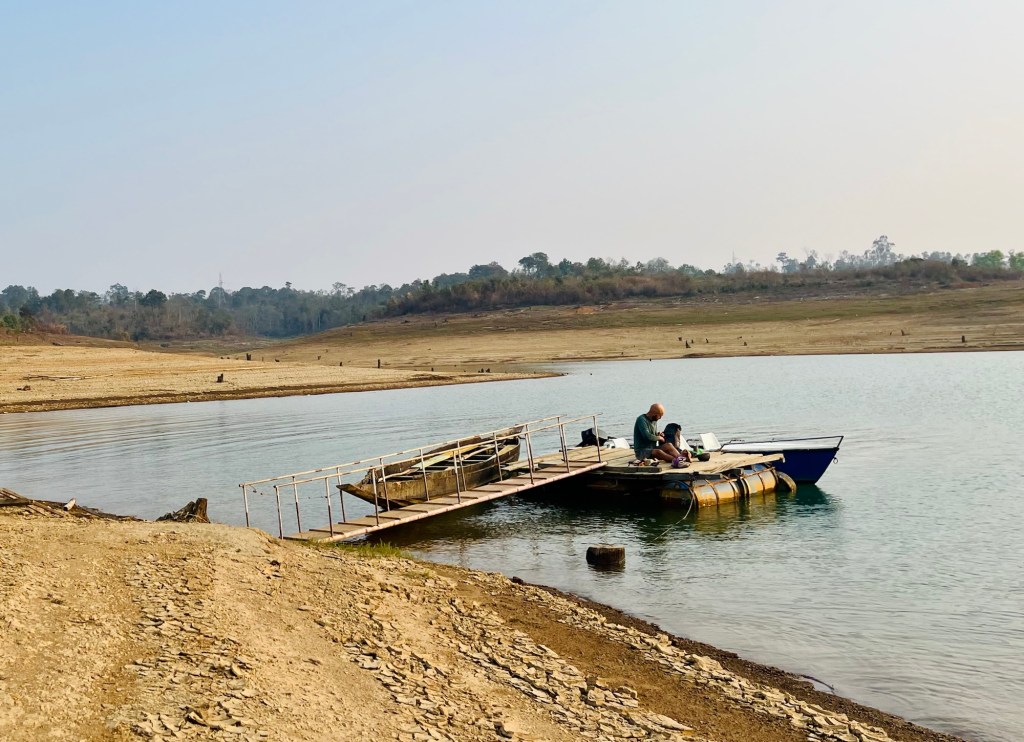
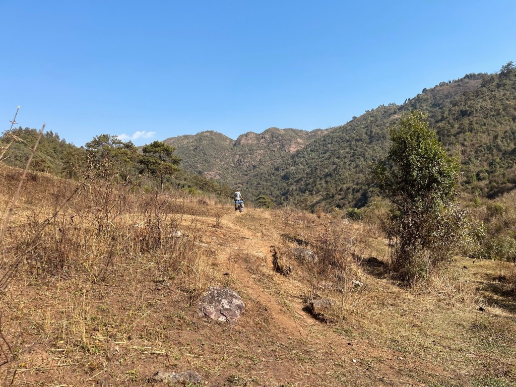
In Ranikor we find a beautiful campground with a swimming pool. Our route looked fairly flat when we planned it. Once we entered the Garo hill area we realised: it was all a lie!

So so many short uphills sum up to almost 3000 altitude meters on one day. All of that in the burning heat!

The roadside is covered with elephant poo. While we sweat our way up the hills we’re getting filmed and photographed by local by-passers. We haven’t had this in a long time and we get to feel more like we’re the animals crossing the wildlife passages. The soldiers at the border checkpoints are more worried about us getting run down by elephants than the border itself.
Another stopover in Assam
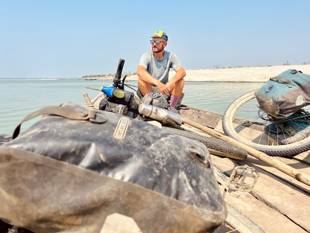
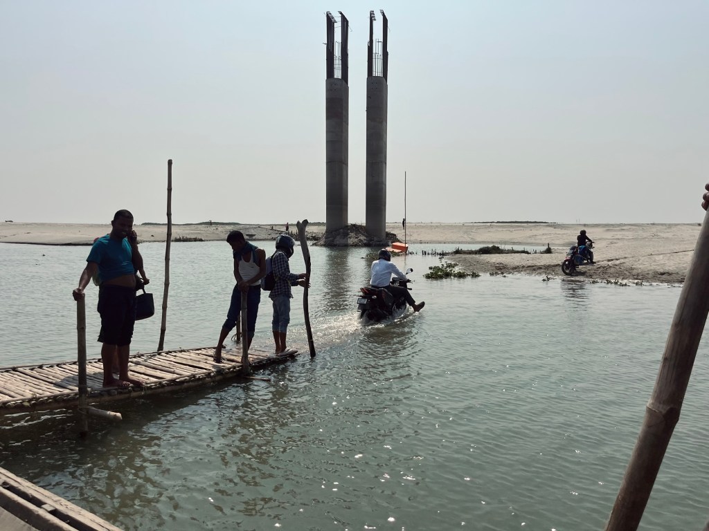
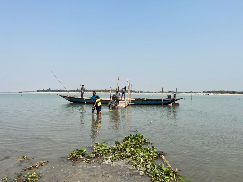
A few kilometers and many uphill meters later we arrive again in Assam. One turn and we are entering chaos. Goodbye idyllic Megalaya. The road is merely a road anymore but consists of more holes than tarmac. Tuk-tuks tetris and eardrum bursting honking. Many, many friendly faces and so many questions asked. How to manoeuvre our bikes in this mess? In Phulbari we search for the ferry which will bring us dry across the Brahmaputra river. Following the pillars of an unfinished massive bridge project we finally find the first ferry port. Then the next one.

Stop over in Westbengal
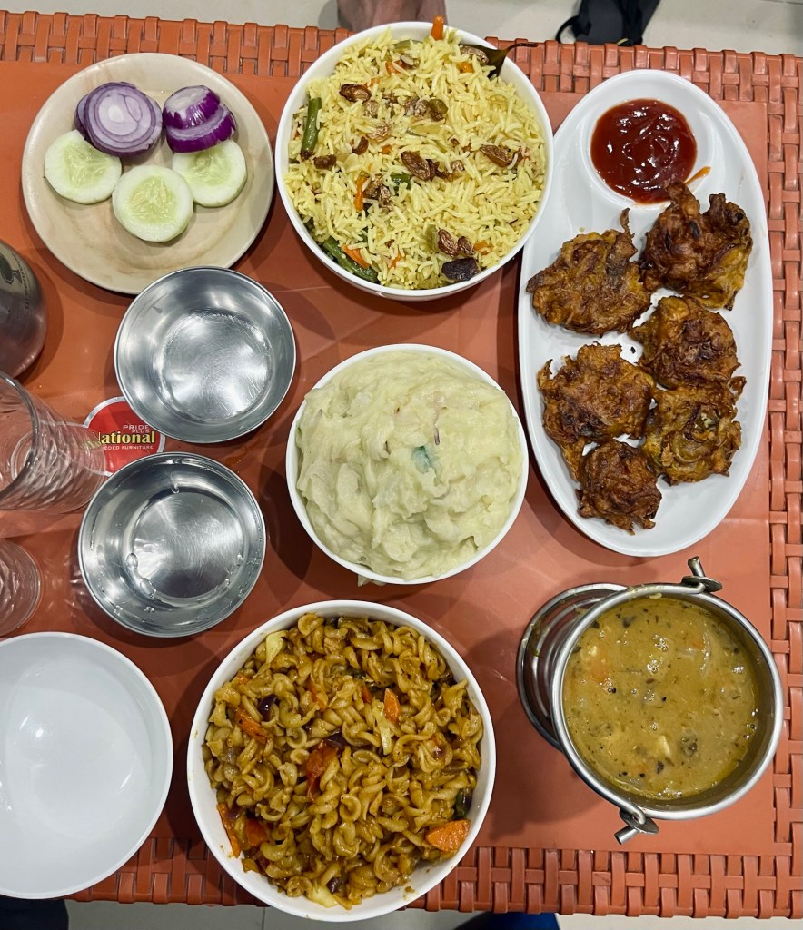
After a long day we arrive in a Koch Bihar – which used to be a princely state. In a nice hotel we enjoy one of the most delicious meals we had in a while. Camping is still not an option for us, as the area is densely populated. And the solid shower after the hot and long days is a treat!

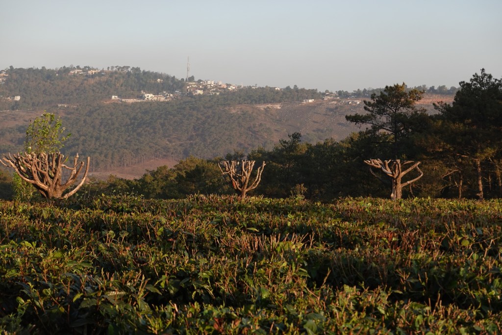
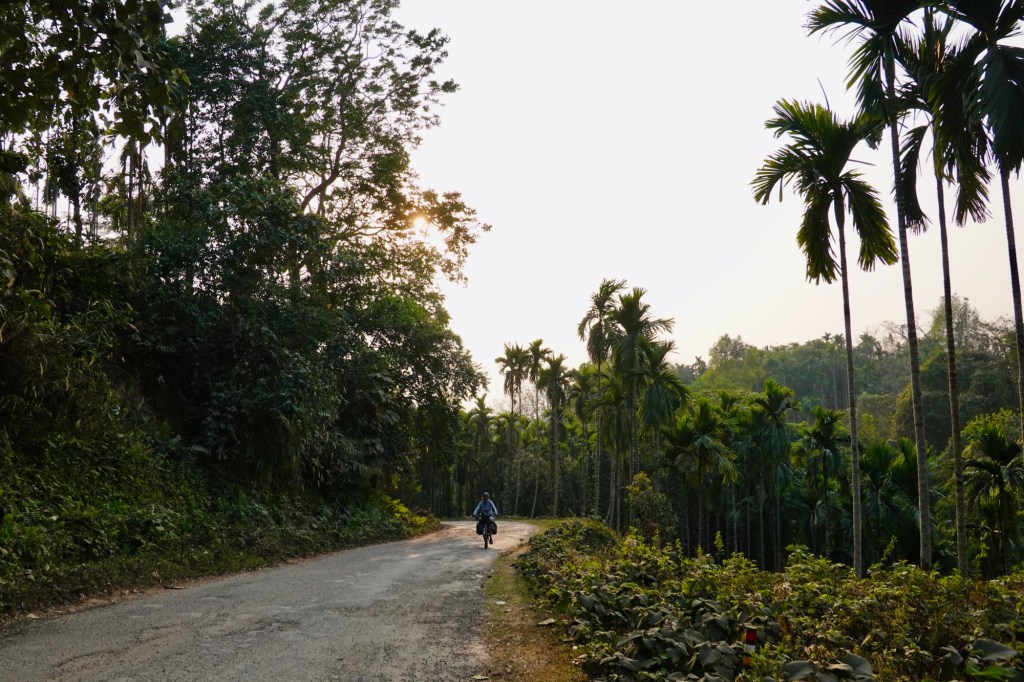
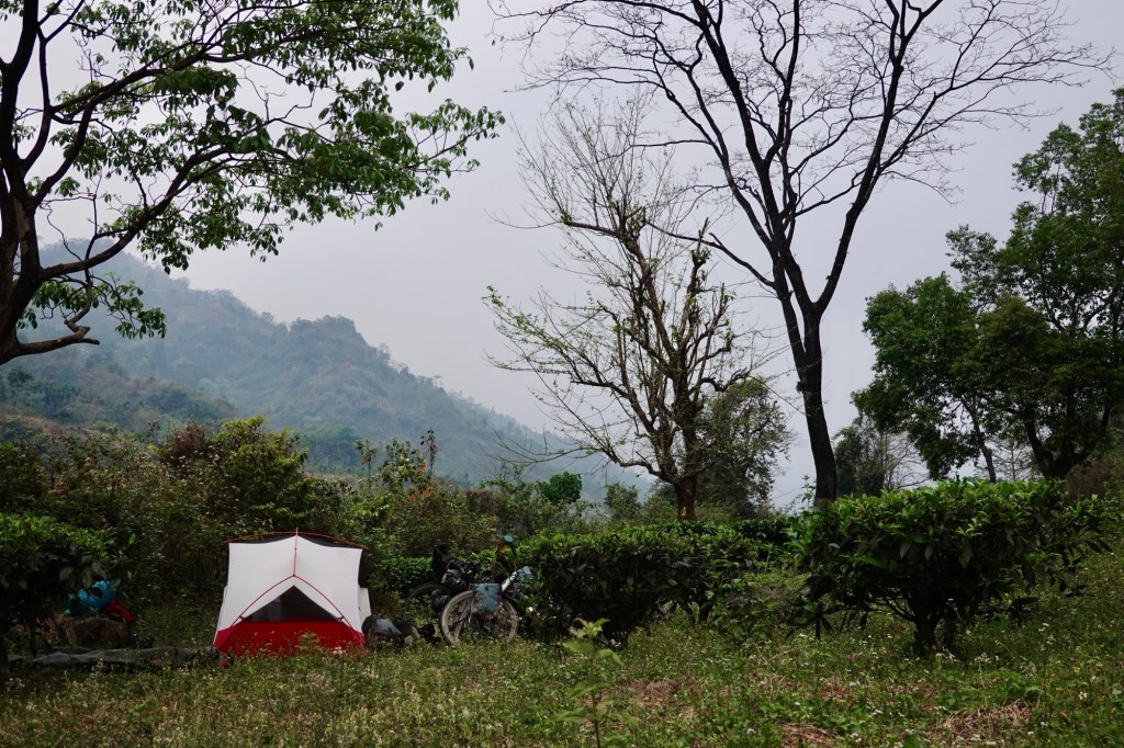
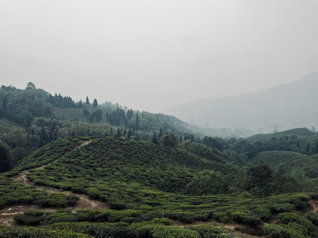
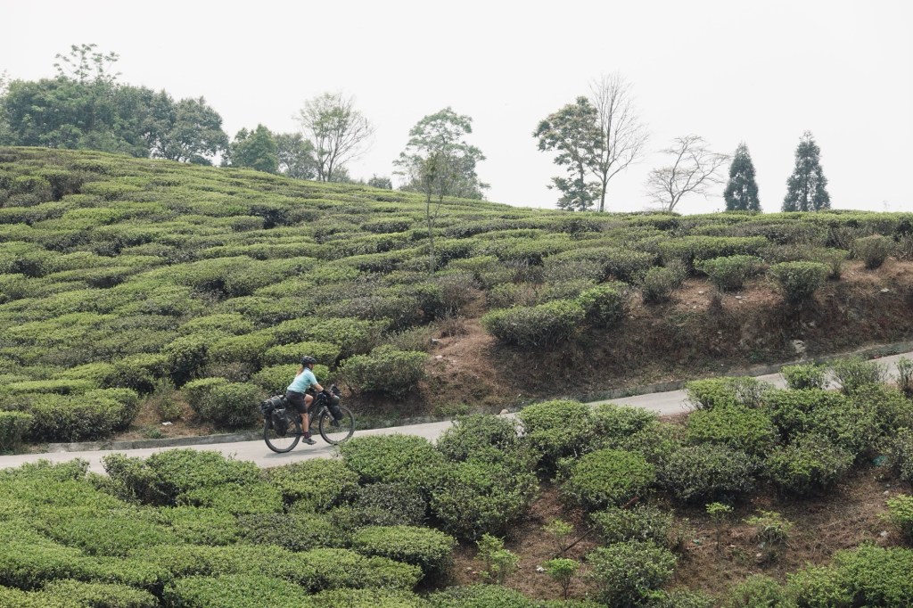
On our way to Lava we pass many many tea gardens. We find a lovely camp spot in one of them.
In a small teahouse we enjoy the best Momos and Veg Thali so far. Fresh farn (Nigri) and nettles as greens this time. Coconut icecream for dessert!

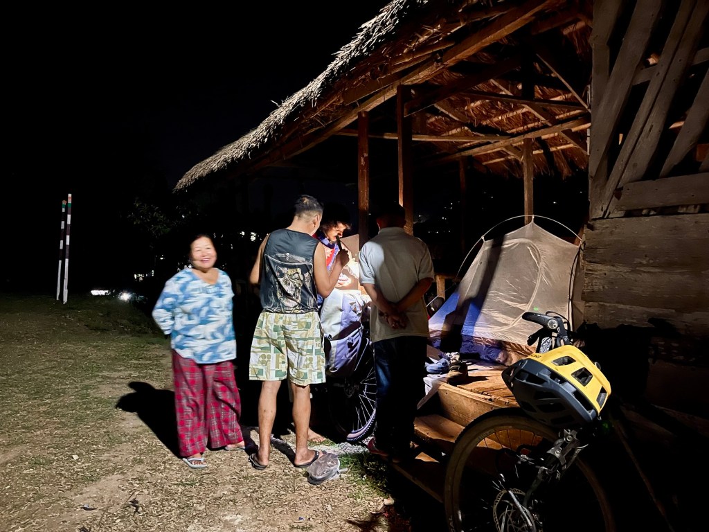
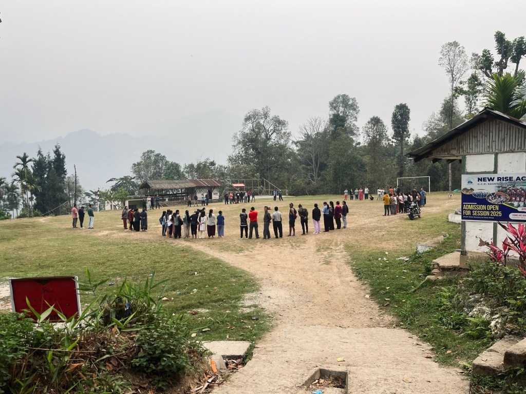
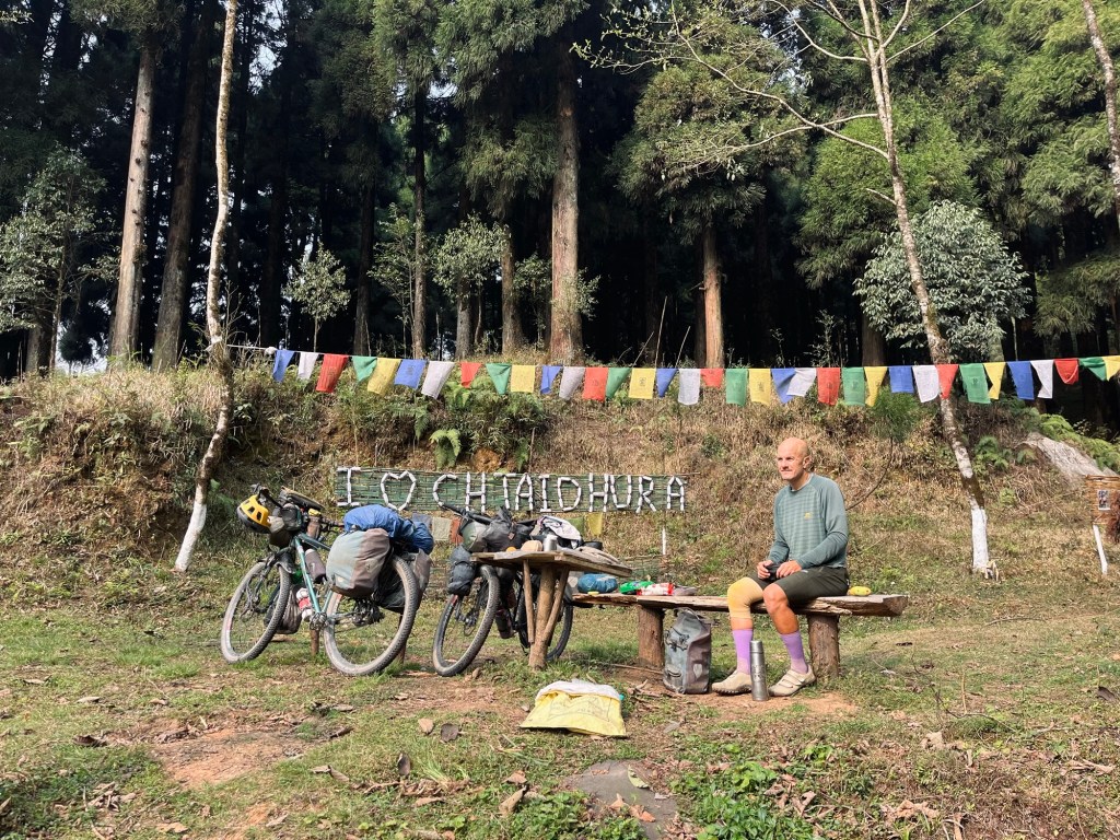
On the pass itself we get caught in the clouds. So no views again – but we meet a nice Nepali cyclist and shared a camp spot on a football field. The head of the village welcomes us for breakfast to her house, just before giving a briefing to the villagers. Each day villagers harvest Cinchona, which is used as an anti-malaria remedy.
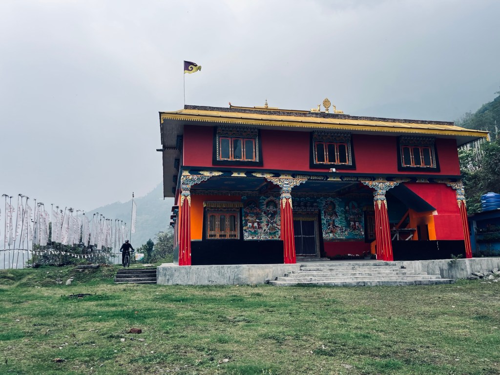
Sikkim – many hills and no views
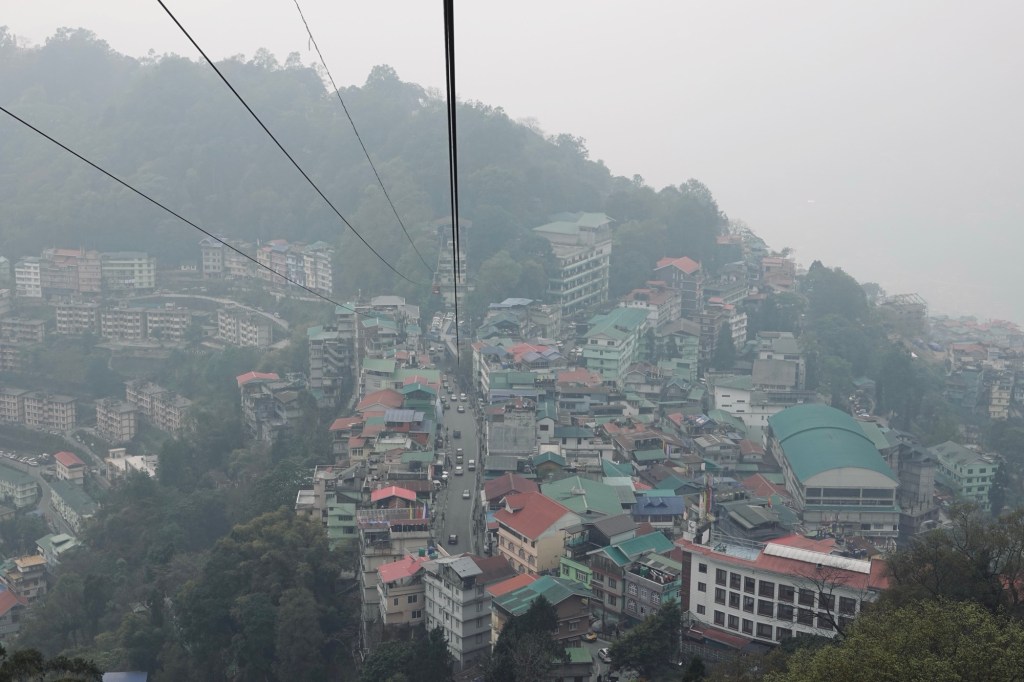
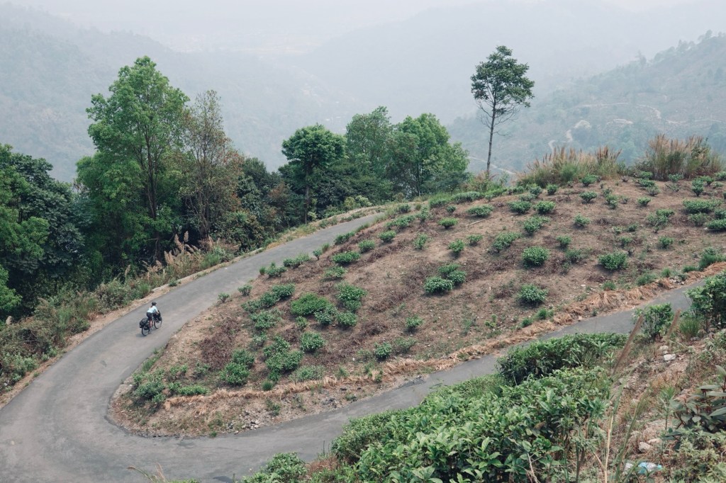
The next morning we arrive at the checkpoint for Sikkim in Rangpo. Another permit and off we go to a destination Rolfi was eager to explore for a long time. Sikkim is supposedly mostly engaged in organic agriculture. In contrast to the other states, Sikkim is banning small plastic bottles and tries to reduce trash. Also we would hope to get a glimpse of one of the 8000m peaks Kachengucha. The road that leads up to Gangtok the capital of the state was anything but nice. Trucks, dust and hills. The streets in Gangtok even steeper and the rain made it so slippery. The honking beyond annoying. Not a good start!

We are sitting out a bit of rain in Gangtok and hop from one cool cafe to the other.
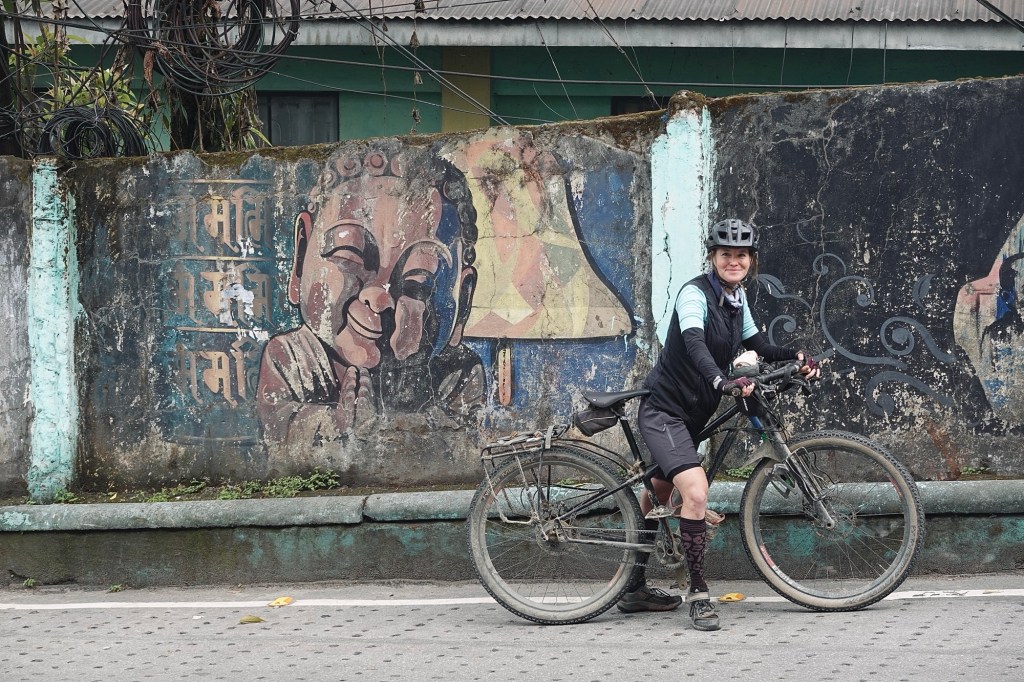
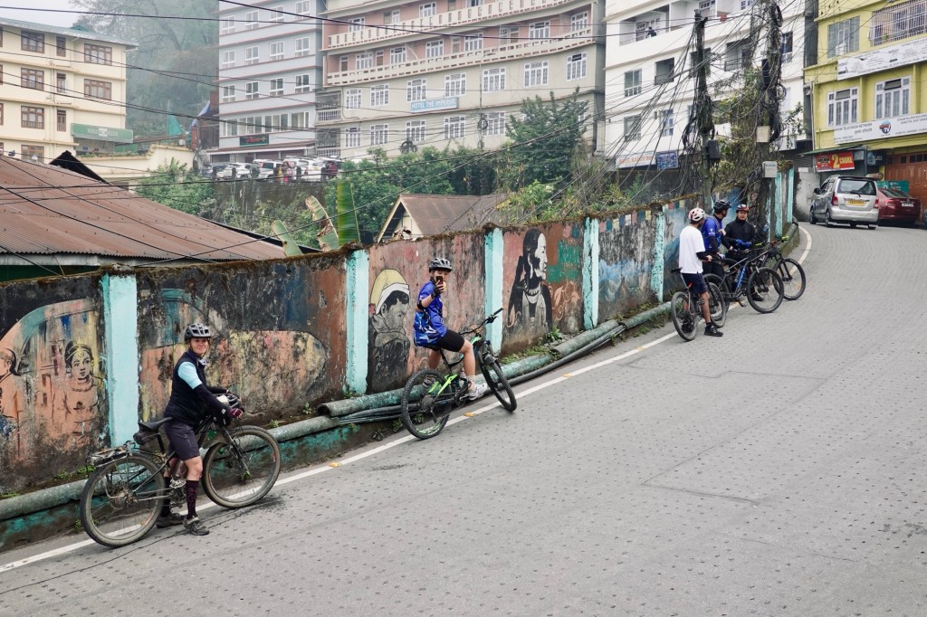
We pass by a bikeshop and invite ourselves for a community ride the next day.
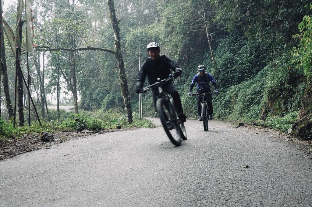
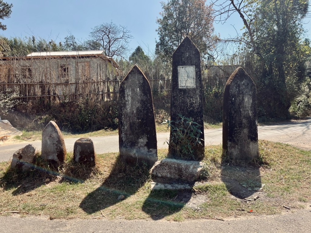
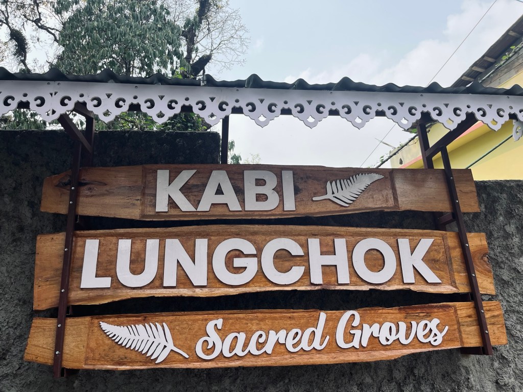
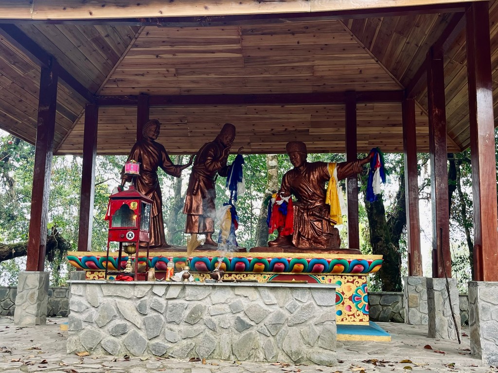
With high hopes for weather improvement we continue towards west of Sikkim. Passing by Kabi Lungchok a historical landmark where Treaty of Blood Brotherhood between the Lepchas and Buthias was signed.
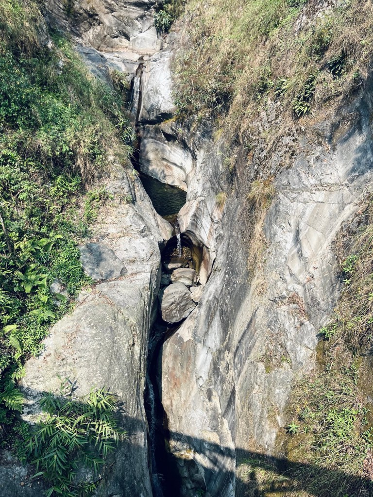
Passing by lovely waterfalls, friendly people and amazing momo street food.
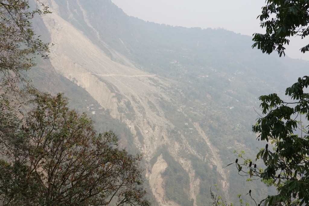
Our rough route leads over a landslide area where the road was completely ripped away. Just in the morning we were discussing that the tarmac is getting a little bit boring and – voila we get what we wished for.


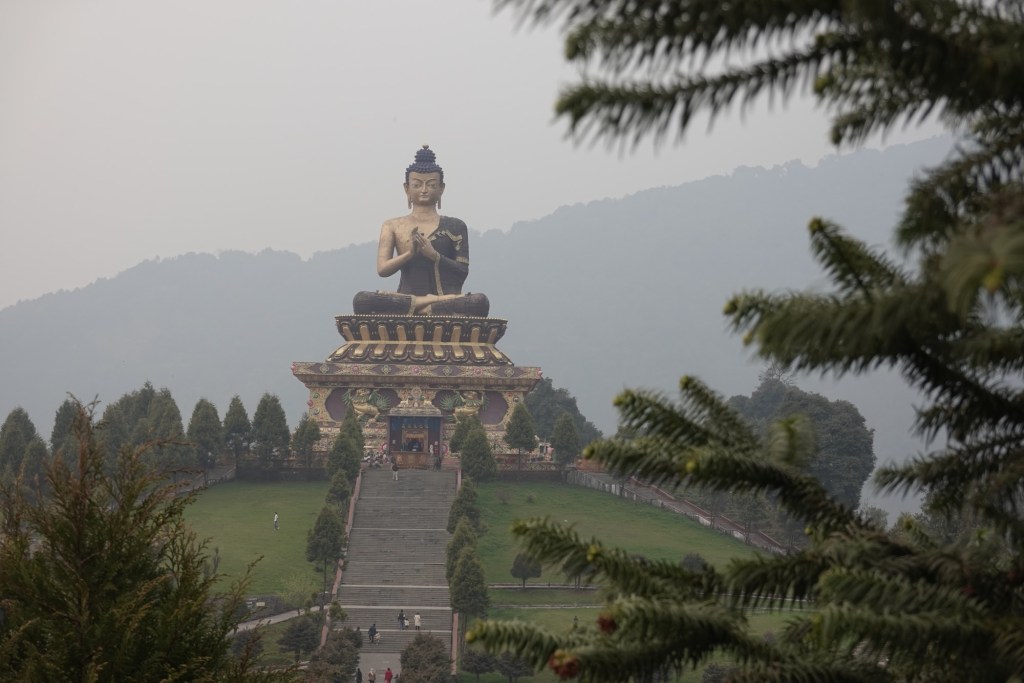
In Ravangla we take some rest for Rolfi’s knee to get better. The hike-a-bike left a mark on the joint or ligament. And we visit the touristic Buddha Park.
Sikkim hasn’t treated us with the best weather and so we leave without getting a glimpse of the famous Himalayan backdrop. A bit disappointed we head to Darjeeling in West Bengal.
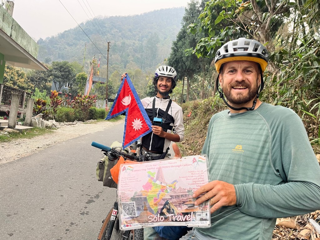
A few more turns through the tea gardens of West Bengal and we find ourselves at the border of Nepal!

After almost one year and so many detours we are finally arriving where we originally planned to go! Goosebumps 🙂 We are so excited for this part of the journey!
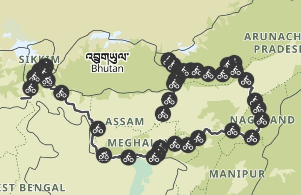
Our Path
India in total: 3200km | 48000 altitude meters
🤗 – as far as we understood correctly the preparation process is different and the texture as well. Basically after…
wow, what an unforgettable and incredible journey through India! Thanks for sharing these stunning pictures ❤️
Wooow! Love this, what a journey! Thanks for sharing the stories and the pictures! Is Akhuni the same as Tempeh?
Wunderschöne Fotos und ein lebhafter Bericht. Ich freue mich auf euren nächsten Beitrag. Weiterhin gute Reise. Papa
Zlways a pleasure to read you and have news from you. All the best. Muriel & Gilles ( France /…

Leave a comment